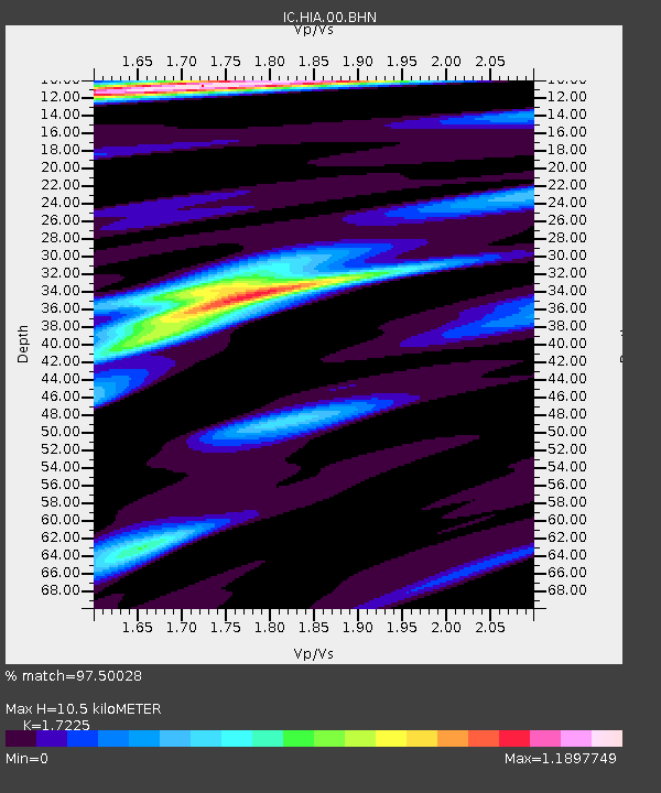
HIA Hailar, Neimenggu Province, China - Earthquake Result Viewer

Earthquake location: New Britain Region, P.N.G.
Earthquake latitude/longitude: -5.2/151.8
Earthquake time(UTC): 2000/11/18 (323) 06:54:58 GMT
Earthquake Depth: 33 km
Earthquake Magnitude: 6.2 MB, 6.6 MS, 6.8 MW, 6.8 MW
Earthquake Catalog/Contributor: WHDF/NEIC
Network: IC New China Digital Seismograph Network
Station: HIA Hailar, Neimenggu Province, China
Lat/Lon: 49.27 N/119.74 E
Elevation: 610 m
Distance: 61.0 deg
Az: 336.598 deg
Baz: 142.855 deg
Ray Param: 0.061098326
Estimated Moho Depth: 10.5 km
Estimated Crust Vp/Vs: 1.72
Assumed Crust Vp: 6.577 km/s
Estimated Crust Vs: 3.818 km/s
Estimated Crust Poisson's Ratio: 0.25
Radial Match: 97.50028 %
Radial Bump: 372
Transverse Match: 83.41814 %
Transverse Bump: 400
SOD ConfigId: 3744
Insert Time: 2010-03-04 22:02:07.360 +0000
GWidth: 2.5
Max Bumps: 400
Tol: 0.001

Signal To Noise

ChannelStoNSTALTA
IC:HIA:00:BHN:20001118T07:04:37.813013Z8.7003876.346016E-77.2939464E-8
IC:HIA:00:BHE:20001118T07:04:37.813013Z8.2126195.0607997E-76.162224E-8
IC:HIA:00:BHZ:20001118T07:04:37.813013Z24.7362122.146136E-68.67609E-8
Arrivals
Ps1.2 SECOND
PpPs4.1 SECOND
PsPs/PpSs5.3 SECOND