HIA Hailar, Neimenggu Province, China - Earthquake Result Viewer
Earthquake location: Kodiak Island Region, Alaska
Earthquake latitude/longitude: 57.1/-153.2
Earthquake time(UTC): 2001/01/10 (010) 16:02:44 GMT
Earthquake Depth: 33 km
Earthquake Magnitude: 6.2 MB, 6.8 MS, 7.1 MW, 6.8 ML
Earthquake Catalog/Contributor: WHDF/NEIC
Network: IC New China Digital Seismograph Network
Station: HIA Hailar, Neimenggu Province, China
Lat/Lon: 49.27 N/119.74 E
Elevation: 610 m
Distance: 49.4 deg
Az: 300.434 deg
Baz: 45.952 deg
Ray Param: 0.06869253
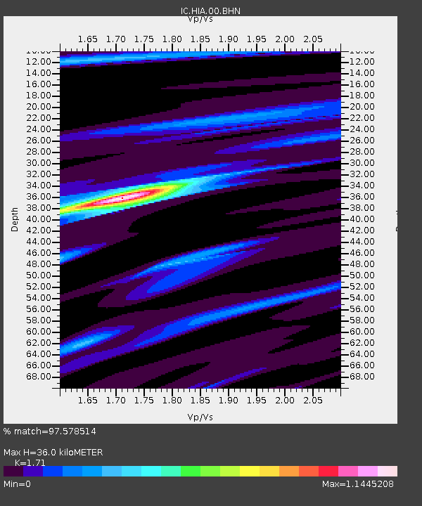
Estimated Moho Depth: 36.0 km
Estimated Crust Vp/Vs: 1.71
Assumed Crust Vp: 6.577 km/s
Estimated Crust Vs: 3.846 km/s
Estimated Crust Poisson's Ratio: 0.24
Radial Match: 97.578514 %
Radial Bump: 328
Transverse Match: 84.80648 %
Transverse Bump: 400
SOD ConfigId: 3744
Insert Time: 2010-03-04 22:04:06.038 +0000
GWidth: 2.5
Max Bumps: 400
Tol: 0.001

Signal To Noise

ChannelStoNSTALTA
IC:HIA:00:BHN:20010110T16:10:59.795002Z20.8968431.4224862E-66.807183E-8
IC:HIA:00:BHE:20010110T16:10:59.795002Z15.294151.6987049E-61.1106893E-7
IC:HIA:00:BHZ:20010110T16:10:59.795002Z29.1244244.317103E-61.4822965E-7
Arrivals
Ps4.1 SECOND
PpPs14 SECOND
PsPs/PpSs18 SECOND