HIA Hailar, Neimenggu Province, China - Earthquake Result Viewer
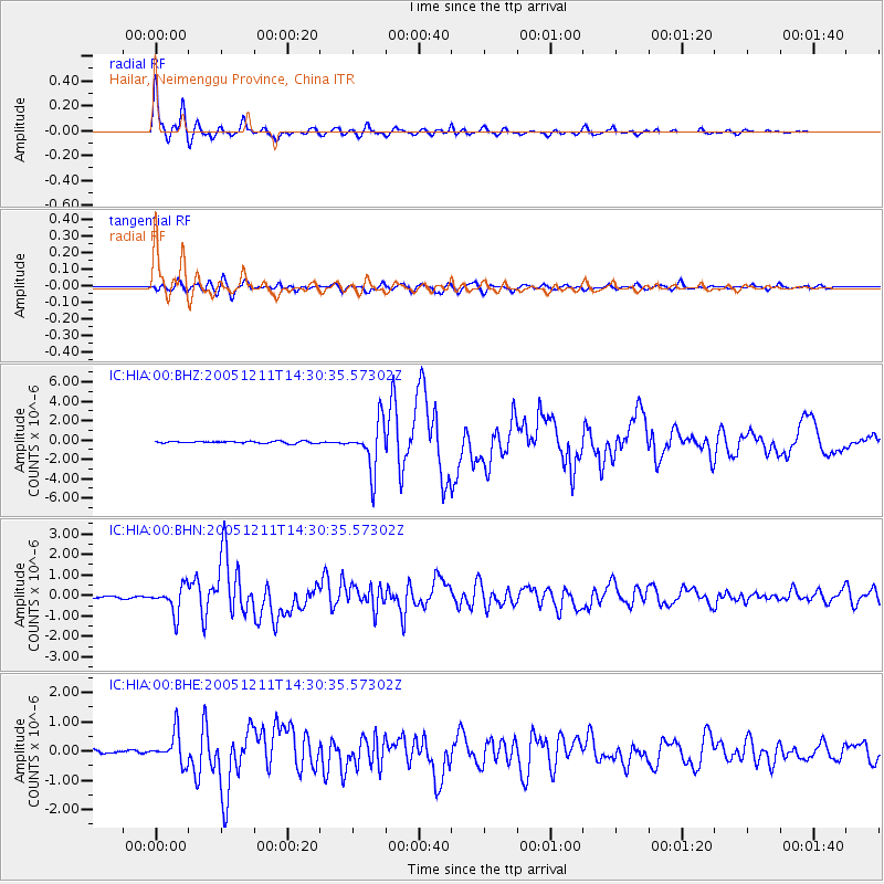
Earthquake location: New Britain Region, P.N.G.
Earthquake latitude/longitude: -6.6/152.2
Earthquake time(UTC): 2005/12/11 (345) 14:20:43 GMT
Earthquake Depth: 10 km
Earthquake Magnitude: 6.2 MB, 6.2 MS, 6.6 MW, 6.5 MW
Earthquake Catalog/Contributor: WHDF/NEIC
Network: IC New China Digital Seismograph Network
Station: HIA Hailar, Neimenggu Province, China
Lat/Lon: 49.27 N/119.74 E
Elevation: 610 m
Distance: 62.4 deg
Az: 336.631 deg
Baz: 143.015 deg
Ray Param: 0.060252327
Estimated Moho Depth: 11.25 km
Estimated Crust Vp/Vs: 1.63
Assumed Crust Vp: 6.577 km/s
Estimated Crust Vs: 4.041 km/s
Estimated Crust Poisson's Ratio: 0.20
Radial Match: 98.02118 %
Radial Bump: 400
Transverse Match: 88.89086 %
Transverse Bump: 400
SOD ConfigId: 2422
Insert Time: 2010-03-04 22:09:08.184 +0000
GWidth: 2.5
Max Bumps: 400
Tol: 0.001

Signal To Noise

ChannelStoNSTALTA
IC:HIA:00:BHN:20051211T14:30:35.57302Z13.6438846.5849736E-74.8263193E-8
IC:HIA:00:BHE:20051211T14:30:35.57302Z11.2032165.2556595E-74.691206E-8
IC:HIA:00:BHZ:20051211T14:30:35.57302Z24.0211142.486171E-61.034994E-7
Arrivals
Ps1.1 SECOND
PpPs4.3 SECOND
PsPs/PpSs5.4 SECOND