HIA Hailar, Neimenggu Province, China - Earthquake Result Viewer
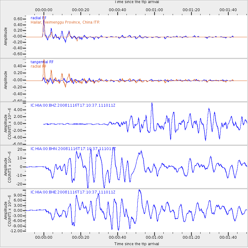
Earthquake location: Minahassa Peninsula, Sulawesi
Earthquake latitude/longitude: 1.3/122.1
Earthquake time(UTC): 2008/11/16 (321) 17:02:32 GMT
Earthquake Depth: 30 km
Earthquake Magnitude: 6.5 MB, 7.0 MS, 7.3 MW, 7.3 MW
Earthquake Catalog/Contributor: WHDF/NEIC
Network: IC New China Digital Seismograph Network
Station: HIA Hailar, Neimenggu Province, China
Lat/Lon: 49.27 N/119.74 E
Elevation: 610 m
Distance: 47.9 deg
Az: 357.925 deg
Baz: 176.832 deg
Ray Param: 0.06967196
Estimated Moho Depth: 35.75 km
Estimated Crust Vp/Vs: 1.71
Assumed Crust Vp: 6.577 km/s
Estimated Crust Vs: 3.857 km/s
Estimated Crust Poisson's Ratio: 0.24
Radial Match: 98.2442 %
Radial Bump: 333
Transverse Match: 94.014534 %
Transverse Bump: 400
SOD ConfigId: 2658
Insert Time: 2010-03-04 22:15:06.777 +0000
GWidth: 2.5
Max Bumps: 400
Tol: 0.001

Signal To Noise

ChannelStoNSTALTA
IC:HIA:00:BHN:20081116T17:10:37.111011Z16.6687954.8132006E-62.887552E-7
IC:HIA:00:BHE:20081116T17:10:37.111011Z9.93961.9158724E-61.9275144E-7
IC:HIA:00:BHZ:20081116T17:10:37.111011Z1.97132421.2558826E-76.370756E-8
Arrivals
Ps4.1 SECOND
PpPs14 SECOND
PsPs/PpSs18 SECOND