G09A Cove, OR, USA - Earthquake Result Viewer
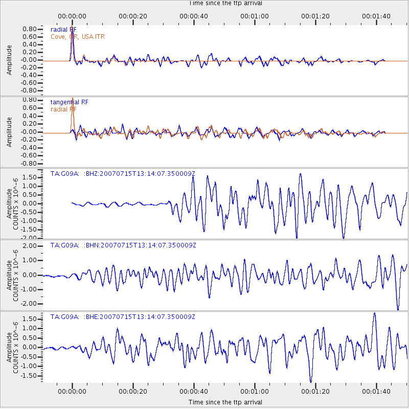
Earthquake location: Fox Islands, Aleutian Islands
Earthquake latitude/longitude: 52.5/-168.0
Earthquake time(UTC): 2007/07/15 (196) 13:08:00 GMT
Earthquake Depth: 10 km
Earthquake Magnitude: 5.8 MB, 5.9 MS, 6.1 MW, 6.0 MW
Earthquake Catalog/Contributor: WHDF/NEIC
Network: TA USArray Transportable Network (new EarthScope stations)
Station: G09A Cove, OR, USA
Lat/Lon: 45.28 N/117.78 W
Elevation: 1027 m
Distance: 33.2 deg
Az: 82.025 deg
Baz: 300.92 deg
Ray Param: 0.07829469
Estimated Moho Depth: 38.5 km
Estimated Crust Vp/Vs: 1.62
Assumed Crust Vp: 6.571 km/s
Estimated Crust Vs: 4.069 km/s
Estimated Crust Poisson's Ratio: 0.19
Radial Match: 85.61508 %
Radial Bump: 400
Transverse Match: 77.59913 %
Transverse Bump: 400
SOD ConfigId: 2564
Insert Time: 2010-03-07 01:33:34.157 +0000
GWidth: 2.5
Max Bumps: 400
Tol: 0.001

Signal To Noise

ChannelStoNSTALTA
TA:G09A: :BHN:20070715T13:14:07.350009Z6.1729221.5927421E-72.5802079E-8
TA:G09A: :BHE:20070715T13:14:07.350009Z1.6185959.809089E-86.060249E-8
TA:G09A: :BHZ:20070715T13:14:07.350009Z2.96397972.0444882E-76.897781E-8
Arrivals
Ps3.9 SECOND
PpPs14 SECOND
PsPs/PpSs18 SECOND