
D06A Cle Elum, WA, USA - Earthquake Result Viewer
| ||||||||||||||||||
| ||||||||||||||||||
| ||||||||||||||||||
|

Signal To Noise
| Channel | StoN | STA | LTA |
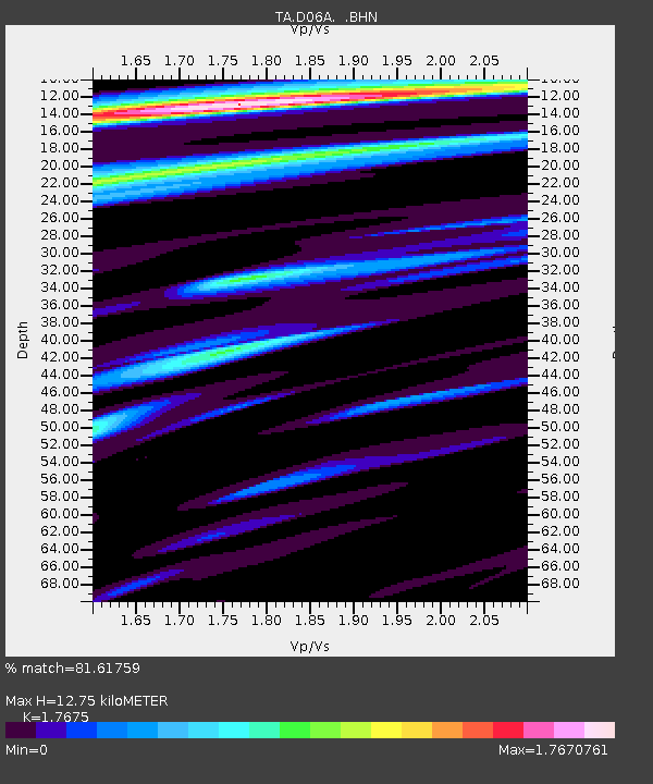
| TA:D06A: :BHN:20080415T23:06:33.350Z | 5.896508 | 1.1829705E-6 | 2.0062221E-7 |
| TA:D06A: :BHE:20080415T23:06:33.350Z | 3.1697145 | 7.955937E-7 | 2.5099854E-7 |
| TA:D06A: :BHZ:20080415T23:06:33.350Z | 2.0429583 | 6.821786E-7 | 3.3391706E-7 |
| Arrivals | |
| Ps | 1.6 SECOND |
| PpPs | 4.9 SECOND |
| PsPs/PpSs | 6.5 SECOND |

