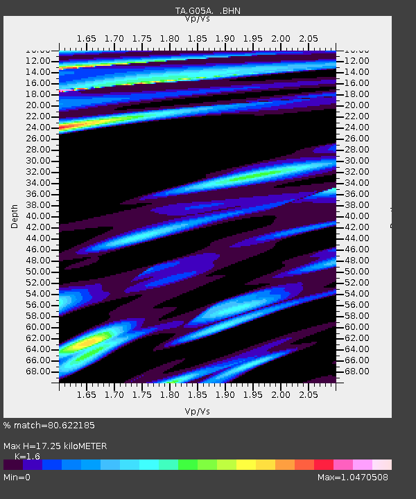
G05A Wamic, OR, USA - Earthquake Result Viewer

Earthquake location: Andreanof Islands, Aleutian Is.
Earthquake latitude/longitude: 51.4/-179.5
Earthquake time(UTC): 2007/12/19 (353) 09:30:27 GMT
Earthquake Depth: 29 km
Earthquake Magnitude: 6.4 MB, 7.1 MS, 7.1 MW, 7.0 MW
Earthquake Catalog/Contributor: WHDF/NEIC
Network: TA USArray Transportable Network (new EarthScope stations)
Station: G05A Wamic, OR, USA
Lat/Lon: 45.24 N/121.32 W
Elevation: 594 m
Distance: 38.3 deg
Az: 75.642 deg
Baz: 300.719 deg
Ray Param: 0.07558588
Estimated Moho Depth: 17.25 km
Estimated Crust Vp/Vs: 1.60
Assumed Crust Vp: 6.597 km/s
Estimated Crust Vs: 4.123 km/s
Estimated Crust Poisson's Ratio: 0.18
Radial Match: 80.622185 %
Radial Bump: 400
Transverse Match: 68.19507 %
Transverse Bump: 400
SOD ConfigId: 2564
Insert Time: 2010-03-07 03:34:18.672 +0000
GWidth: 2.5
Max Bumps: 400
Tol: 0.001

Signal To Noise

ChannelStoNSTALTA
TA:G05A: :BHN:20071219T09:37:14.624014Z1.25760481.996384E-61.5874493E-6
TA:G05A: :BHE:20071219T09:37:14.624014Z2.17228652.3632367E-61.0879029E-6
TA:G05A: :BHZ:20071219T09:37:14.624014Z4.25559334.867756E-61.143849E-6
Arrivals
Ps1.7 SECOND
PpPs6.2 SECOND
PsPs/PpSs8.0 SECOND