S141 Mud Springs Rec. Area - Earthquake Result Viewer
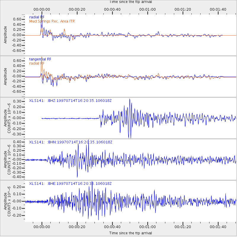
Earthquake location: Kuril Islands
Earthquake latitude/longitude: 43.2/146.4
Earthquake time(UTC): 1997/07/14 (195) 16:09:35 GMT
Earthquake Depth: 33 km
Earthquake Magnitude: 5.9 MB, 5.8 MS, 6.1 UNKNOWN, 5.8 ME
Earthquake Catalog/Contributor: WHDF/NEIC
Network: XL Deep Probe (Archean-Proterozoic)
Station: S141 Mud Springs Rec. Area
Lat/Lon: 38.88 N/108.76 W
Elevation: 2615 m
Distance: 73.7 deg
Az: 51.809 deg
Baz: 312.625 deg
Ray Param: 0.05277764
Estimated Moho Depth: 12.0 km
Estimated Crust Vp/Vs: 1.71
Assumed Crust Vp: 6.291 km/s
Estimated Crust Vs: 3.679 km/s
Estimated Crust Poisson's Ratio: 0.24
Radial Match: 95.42459 %
Radial Bump: 400
Transverse Match: 88.913506 %
Transverse Bump: 400
SOD ConfigId: 6273
Insert Time: 2010-03-08 18:10:17.774 +0000
GWidth: 2.5
Max Bumps: 400
Tol: 0.001

Signal To Noise

ChannelStoNSTALTA
XL:S141: :BHN:19970714T16:20:35.106018Z3.72812993.1415745E-88.426677E-9
XL:S141: :BHE:19970714T16:20:35.106018Z2.2140862.121671E-89.582603E-9
XL:S141: :BHZ:19970714T16:20:35.106018Z17.8292855.2701868E-82.9559157E-9
Arrivals
Ps1.4 SECOND
PpPs5.0 SECOND
PsPs/PpSs6.4 SECOND