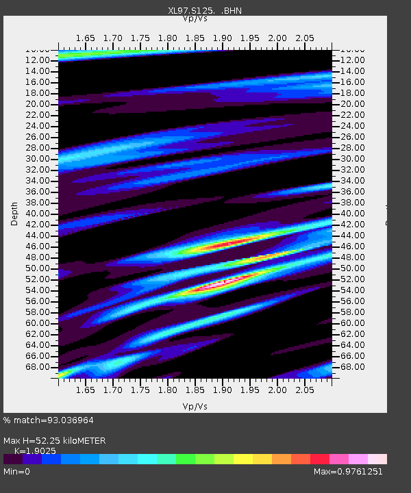
S125 Martins Gap - Earthquake Result Viewer

Earthquake location: Near Coast Of Central Chile
Earthquake latitude/longitude: -30.5/-71.9
Earthquake time(UTC): 1997/07/27 (208) 05:21:29 GMT
Earthquake Depth: 33 km
Earthquake Magnitude: 5.6 MB, 5.8 MS, 6.3 UNKNOWN, 6.2 MW
Earthquake Catalog/Contributor: WHDF/NEIC
Network: XL Deep Probe (Archean-Proterozoic)
Station: S125 Martins Gap
Lat/Lon: 40.26 N/108.77 W
Elevation: 1849 m
Distance: 78.3 deg
Az: 332.011 deg
Baz: 148.047 deg
Ray Param: 0.049689807
Estimated Moho Depth: 52.25 km
Estimated Crust Vp/Vs: 1.90
Assumed Crust Vp: 6.207 km/s
Estimated Crust Vs: 3.263 km/s
Estimated Crust Poisson's Ratio: 0.31
Radial Match: 93.036964 %
Radial Bump: 400
Transverse Match: 80.32663 %
Transverse Bump: 400
SOD ConfigId: 6273
Insert Time: 2010-03-08 18:10:51.134 +0000
GWidth: 2.5
Max Bumps: 400
Tol: 0.001

Signal To Noise

ChannelStoNSTALTA
XL:S125: :BHN:19970727T05:32:54.895007Z1.93435861.18888025E-76.1461215E-8
XL:S125: :BHE:19970727T05:32:54.895007Z0.97331015.0927923E-85.232446E-8
XL:S125: :BHZ:19970727T05:32:54.895007Z3.76404622.2973317E-76.103357E-8
Arrivals
Ps7.8 SECOND
PpPs24 SECOND
PsPs/PpSs32 SECOND