APER YF.APER - Earthquake Result Viewer
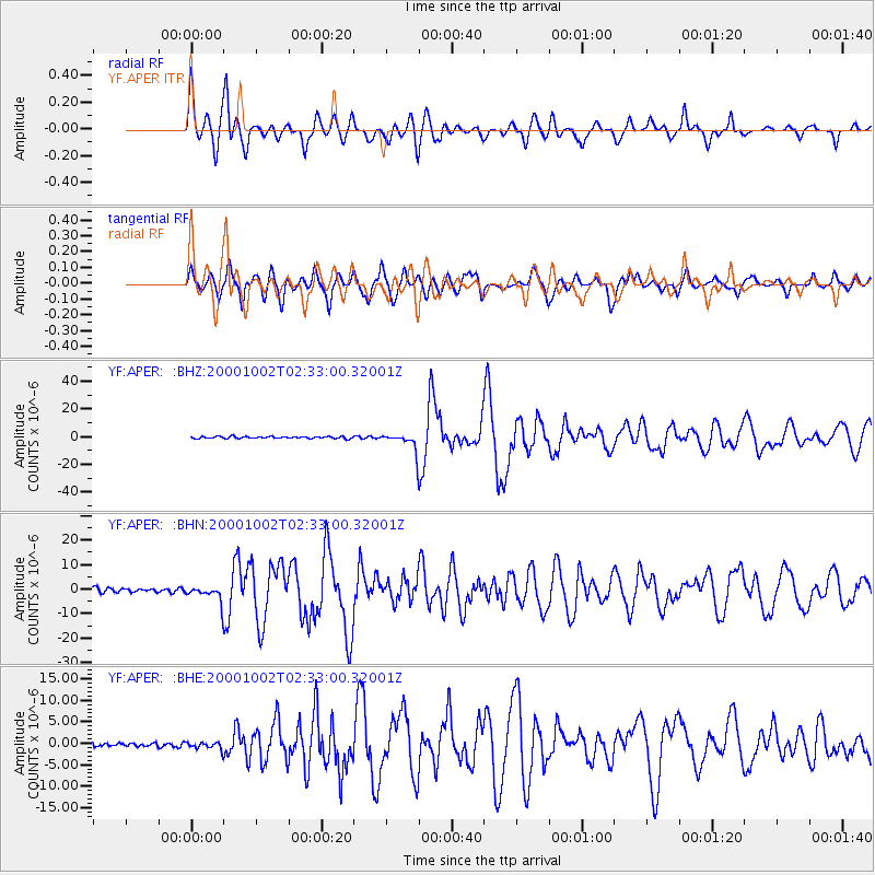
Earthquake location: Lake Tanganyika Region
Earthquake latitude/longitude: -8.0/30.7
Earthquake time(UTC): 2000/10/02 (276) 02:25:31 GMT
Earthquake Depth: 34 km
Earthquake Magnitude: 6.1 MB, 6.7 MS, 6.5 MW, 6.2 ME
Earthquake Catalog/Contributor: WHDF/NEIC
Network: YF Midsea - Mantle Investigation of the Deep Suture between Eurasia and Africa
Station: APER YF.APER
Lat/Lon: 35.55 N/27.17 E
Elevation: 250 m
Distance: 43.4 deg
Az: 355.805 deg
Baz: 174.903 deg
Ray Param: 0.07249284
Estimated Moho Depth: 50.25 km
Estimated Crust Vp/Vs: 1.60
Assumed Crust Vp: 5.627 km/s
Estimated Crust Vs: 3.517 km/s
Estimated Crust Poisson's Ratio: 0.18
Radial Match: 80.01802 %
Radial Bump: 400
Transverse Match: 79.478325 %
Transverse Bump: 400
SOD ConfigId: 3744
Insert Time: 2010-03-08 22:34:48.725 +0000
GWidth: 2.5
Max Bumps: 400
Tol: 0.001

Signal To Noise

ChannelStoNSTALTA
YF:APER: :BHN:20001002T02:33:00.32001Z3.46786833.2863247E-69.476498E-7
YF:APER: :BHE:20001002T02:33:00.32001Z1.45353358.891552E-76.1171977E-7
YF:APER: :BHZ:20001002T02:33:00.32001Z9.7524086.7393057E-66.9104016E-7
Arrivals
Ps5.7 SECOND
PpPs22 SECOND
PsPs/PpSs28 SECOND