KOUM YF.KOUM - Earthquake Result Viewer
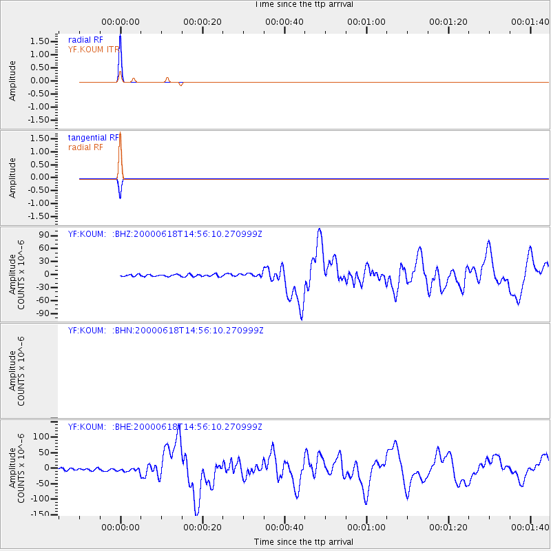
Earthquake location: South Indian Ocean
Earthquake latitude/longitude: -13.8/97.5
Earthquake time(UTC): 2000/06/18 (170) 14:44:13 GMT
Earthquake Depth: 10 km
Earthquake Magnitude: 6.8 MB, 7.8 MS, 7.8 MW, 7.6 MW
Earthquake Catalog/Contributor: WHDF/NEIC
Network: YF Midsea - Mantle Investigation of the Deep Suture between Eurasia and Africa
Station: KOUM YF.KOUM
Lat/Lon: 37.70 N/26.84 E
Elevation: 340 m
Distance: 83.6 deg
Az: 311.159 deg
Baz: 112.756 deg
Ray Param: 0.046069294
Estimated Moho Depth: 10.0 km
Estimated Crust Vp/Vs: 1.60
Assumed Crust Vp: 5.989 km/s
Estimated Crust Vs: 3.743 km/s
Estimated Crust Poisson's Ratio: 0.18
Radial Match: 99.995804 %
Radial Bump: 2
Transverse Match: 99.995804 %
Transverse Bump: 2
SOD ConfigId: 3744
Insert Time: 2010-03-08 22:38:58.500 +0000
GWidth: 2.5
Max Bumps: 400
Tol: 0.001

Signal To Noise

ChannelStoNSTALTA
$trig.getChannelId()$trig.getValue()$trig.getSTA()$trig.getLTA()
YF:KOUM: :BHE:20000618T14:56:10.270999Z1.83104485.9131085E-63.2293633E-6
YF:KOUM: :BHZ:20000618T14:56:10.270999Z1.79228354.092112E-62.2831834E-6
Arrivals
Ps1.0 SECOND
PpPs4.2 SECOND
PsPs/PpSs5.3 SECOND