Y35 Y35 - Earthquake Result Viewer
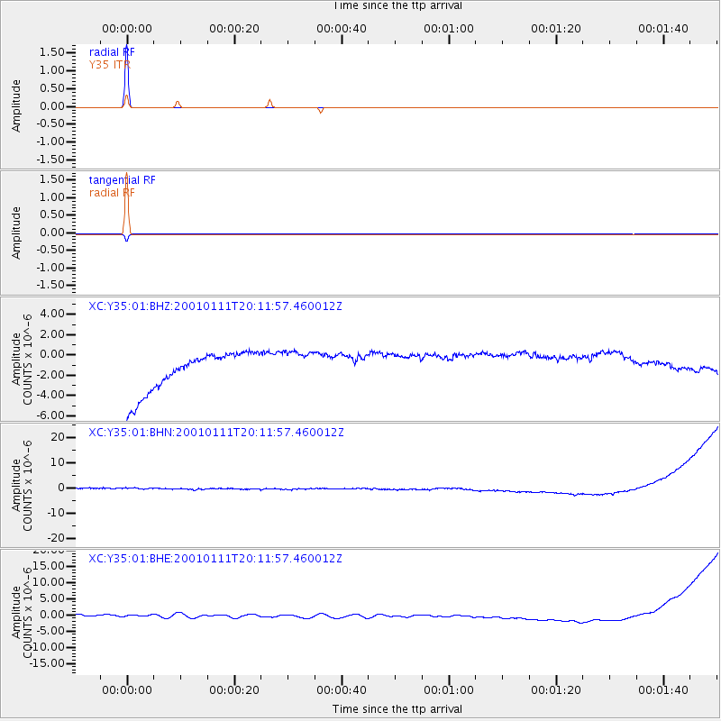
Earthquake location: Fiji Islands Region
Earthquake latitude/longitude: -18.8/-176.7
Earthquake time(UTC): 2001/01/11 (011) 19:59:39 GMT
Earthquake Depth: 10 km
Earthquake Magnitude: 5.4 MB, 5.4 MS, 5.8 MW, 5.7 MW
Earthquake Catalog/Contributor: WHDF/NEIC
Network: XC Yellowstone Intermountain Seismic Array
Station: Y35 Y35
Lat/Lon: 42.57 N/108.04 W
Elevation: 2062 m
Distance: 87.8 deg
Az: 43.531 deg
Baz: 242.043 deg
Ray Param: 0.043067727
Estimated Moho Depth: 10.0 km
Estimated Crust Vp/Vs: 1.60
Assumed Crust Vp: 6.161 km/s
Estimated Crust Vs: 3.851 km/s
Estimated Crust Poisson's Ratio: 0.18
Radial Match: 99.99901 %
Radial Bump: 2
Transverse Match: 99.92882 %
Transverse Bump: 8
SOD ConfigId: 16820
Insert Time: 2010-02-26 14:57:22.545 +0000
GWidth: 2.5
Max Bumps: 400
Tol: 0.001

Signal To Noise

ChannelStoNSTALTA
XC:Y35:01:BHN:20010111T20:11:57.460012Z0.90683371.744676E-61.9239203E-6
XC:Y35:01:BHE:20010111T20:11:57.460012Z0.886595371.3446455E-61.5166394E-6
XC:Y35:01:BHZ:20010111T20:11:57.460012Z0.903615831.7583548E-61.9459096E-6
Arrivals
Ps1.0 SECOND
PpPs4.1 SECOND
PsPs/PpSs5.1 SECOND