Y50 Y50 - Earthquake Result Viewer
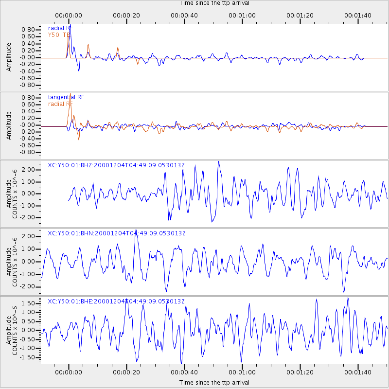
Earthquake location: Near Coast Of Chiapas, Mexico
Earthquake latitude/longitude: 14.9/-93.9
Earthquake time(UTC): 2000/12/04 (339) 04:43:09 GMT
Earthquake Depth: 33 km
Earthquake Magnitude: 5.6 MB, 5.7 MS, 6.0 MW, 5.9 MW
Earthquake Catalog/Contributor: WHDF/NEIC
Network: XC Yellowstone Intermountain Seismic Array
Station: Y50 Y50
Lat/Lon: 45.15 N/108.97 W
Elevation: 1197 m
Distance: 32.7 deg
Az: 340.181 deg
Baz: 152.4 deg
Ray Param: 0.078471206
Estimated Moho Depth: 18.5 km
Estimated Crust Vp/Vs: 1.62
Assumed Crust Vp: 6.242 km/s
Estimated Crust Vs: 3.841 km/s
Estimated Crust Poisson's Ratio: 0.20
Radial Match: 85.50311 %
Radial Bump: 332
Transverse Match: 66.66572 %
Transverse Bump: 400
SOD ConfigId: 16820
Insert Time: 2010-02-26 14:58:10.304 +0000
GWidth: 2.5
Max Bumps: 400
Tol: 0.001

Signal To Noise

ChannelStoNSTALTA
XC:Y50:01:BHN:20001204T04:49:09.053013Z0.903494664.922437E-75.44822E-7
XC:Y50:01:BHE:20001204T04:49:09.053013Z1.21884944.5083868E-73.6988874E-7
XC:Y50:01:BHZ:20001204T04:49:09.053013Z1.90961188.157015E-74.271557E-7
Arrivals
Ps2.0 SECOND
PpPs7.2 SECOND
PsPs/PpSs9.2 SECOND