Y13 Y13 - Earthquake Result Viewer
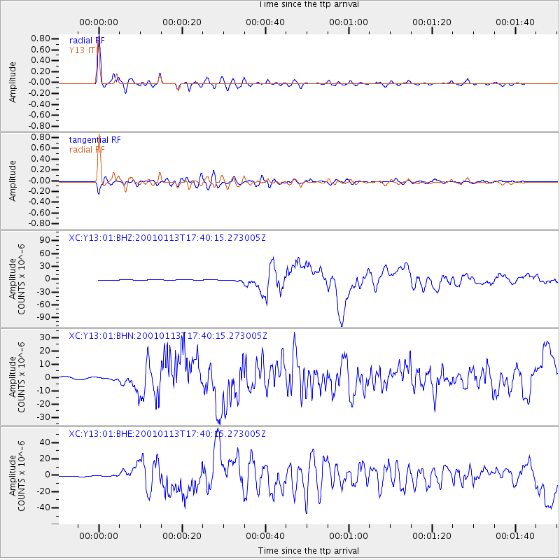
Earthquake location: El Salvador
Earthquake latitude/longitude: 13.0/-88.7
Earthquake time(UTC): 2001/01/13 (013) 17:33:32 GMT
Earthquake Depth: 60 km
Earthquake Magnitude: 6.4 MB, 7.8 MS, 7.7 MW, 7.5 ME
Earthquake Catalog/Contributor: WHDF/NEIC
Network: XC Yellowstone Intermountain Seismic Array
Station: Y13 Y13
Lat/Lon: 45.27 N/112.82 W
Elevation: 1808 m
Distance: 38.1 deg
Az: 332.083 deg
Baz: 139.751 deg
Ray Param: 0.07557471
Estimated Moho Depth: 39.0 km
Estimated Crust Vp/Vs: 1.70
Assumed Crust Vp: 6.577 km/s
Estimated Crust Vs: 3.863 km/s
Estimated Crust Poisson's Ratio: 0.24
Radial Match: 95.766136 %
Radial Bump: 337
Transverse Match: 84.23282 %
Transverse Bump: 400
SOD ConfigId: 16820
Insert Time: 2010-02-26 14:59:21.592 +0000
GWidth: 2.5
Max Bumps: 400
Tol: 0.001

Signal To Noise

ChannelStoNSTALTA
XC:Y13:01:BHN:20010113T17:40:15.273005Z1.17007218.3424004E-77.129818E-7
XC:Y13:01:BHE:20010113T17:40:15.273005Z1.67018956.2055204E-73.7154587E-7
XC:Y13:01:BHZ:20010113T17:40:15.273005Z2.77862051.966855E-67.078531E-7
Arrivals
Ps4.5 SECOND
PpPs15 SECOND
PsPs/PpSs19 SECOND