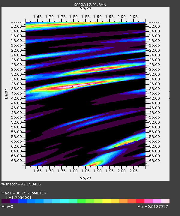
Y12 Y12 - Earthquake Result Viewer

Earthquake location: Tonga Islands
Earthquake latitude/longitude: -17.2/-173.9
Earthquake time(UTC): 2000/09/26 (270) 06:17:52 GMT
Earthquake Depth: 56 km
Earthquake Magnitude: 6.1 MB, 6.1 MS, 6.4 MW, 6.1 ME
Earthquake Catalog/Contributor: WHDF/NEIC
Network: XC Yellowstone Intermountain Seismic Array
Station: Y12 Y12
Lat/Lon: 45.60 N/113.11 W
Elevation: 2051 m
Distance: 83.2 deg
Az: 38.118 deg
Baz: 237.192 deg
Ray Param: 0.046248283
Estimated Moho Depth: 36.75 km
Estimated Crust Vp/Vs: 1.80
Assumed Crust Vp: 6.577 km/s
Estimated Crust Vs: 3.664 km/s
Estimated Crust Poisson's Ratio: 0.27
Radial Match: 92.150406 %
Radial Bump: 400
Transverse Match: 80.40362 %
Transverse Bump: 400
SOD ConfigId: 16820
Insert Time: 2010-02-26 14:59:48.110 +0000
GWidth: 2.5
Max Bumps: 400
Tol: 0.001

Signal To Noise

ChannelStoNSTALTA
XC:Y12:01:BHN:20000926T06:29:41.563015Z4.31259974.045651E-79.381003E-8
XC:Y12:01:BHE:20000926T06:29:41.563015Z5.89041473.879875E-76.58676E-8
XC:Y12:01:BHZ:20000926T06:29:41.563015Z31.6994951.7419733E-65.4952714E-8
Arrivals
Ps4.6 SECOND
PpPs15 SECOND
PsPs/PpSs20 SECOND