MOH9 XN.MOH9 - Earthquake Result Viewer
Earthquake location: Solomon Islands
Earthquake latitude/longitude: -10.6/161.2
Earthquake time(UTC): 2002/09/24 (267) 23:01:28 GMT
Earthquake Depth: 19 km
Earthquake Magnitude: 5.7 MB, 6.5 MS, 6.3 MW, 6.3 MW
Earthquake Catalog/Contributor: WHDF/NEIC
Network: XN RPI-UW Parkfield Calibration Array
Station: MOH9 XN.MOH9
Lat/Lon: 35.97 N/120.57 W
Elevation: 672 m
Distance: 86.8 deg
Az: 52.684 deg
Baz: 254.533 deg
Ray Param: 0.04375309
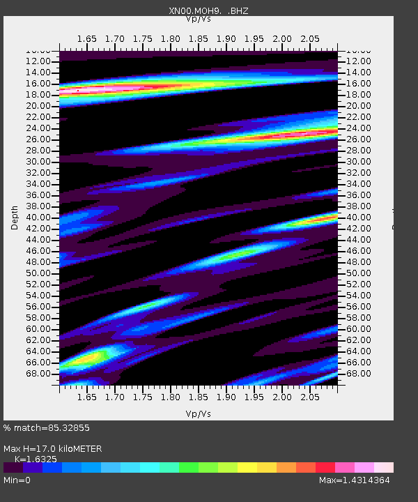
Estimated Moho Depth: 17.0 km
Estimated Crust Vp/Vs: 1.63
Assumed Crust Vp: 6.183 km/s
Estimated Crust Vs: 3.787 km/s
Estimated Crust Poisson's Ratio: 0.20
Radial Match: 85.32855 %
Radial Bump: 400
Transverse Match: 73.68405 %
Transverse Bump: 400
SOD ConfigId: 16844
Insert Time: 2010-03-08 23:21:47.930 +0000
GWidth: 2.5
Max Bumps: 400
Tol: 0.001

Signal To Noise

ChannelStoNSTALTA
XN:MOH9: :BHZ:20020924T23:13:40.274004Z2.67325266.847066E-72.561324E-7
XN:MOH9: :BHN:20020924T23:13:40.274004Z0.660202261.7999999E-72.726437E-7
XN:MOH9: :BHE:20020924T23:13:40.274004Z0.607992532.1335296E-73.5091378E-7
Arrivals
Ps1.8 SECOND
PpPs7.1 SECOND
PsPs/PpSs8.9 SECOND