Y04 Y04 - Earthquake Result Viewer
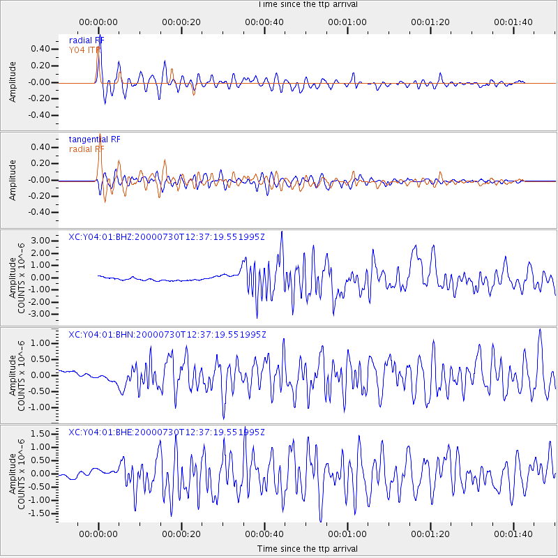
Earthquake location: Southeast Of Honshu, Japan
Earthquake latitude/longitude: 33.9/139.4
Earthquake time(UTC): 2000/07/30 (212) 12:25:45 GMT
Earthquake Depth: 10 km
Earthquake Magnitude: 6.0 MB, 6.5 MS, 6.5 MW, 6.5 MW
Earthquake Catalog/Contributor: WHDF/NEIC
Network: XC Yellowstone Intermountain Seismic Array
Station: Y04 Y04
Lat/Lon: 43.51 N/111.90 W
Elevation: 1502 m
Distance: 79.2 deg
Az: 44.536 deg
Baz: 306.697 deg
Ray Param: 0.04909503
Estimated Moho Depth: 36.0 km
Estimated Crust Vp/Vs: 1.87
Assumed Crust Vp: 6.207 km/s
Estimated Crust Vs: 3.319 km/s
Estimated Crust Poisson's Ratio: 0.30
Radial Match: 88.62074 %
Radial Bump: 400
Transverse Match: 82.74043 %
Transverse Bump: 400
SOD ConfigId: 3744
Insert Time: 2010-02-26 15:01:14.983 +0000
GWidth: 2.5
Max Bumps: 400
Tol: 0.001

Signal To Noise

ChannelStoNSTALTA
XC:Y04:01:BHN:20000730T12:37:19.551995Z1.28475761.384582E-71.0776991E-7
XC:Y04:01:BHE:20000730T12:37:19.551995Z1.34103471.6325563E-71.2173857E-7
XC:Y04:01:BHZ:20000730T12:37:19.551995Z4.4258795.077467E-71.14722226E-7
Arrivals
Ps5.2 SECOND
PpPs16 SECOND
PsPs/PpSs21 SECOND