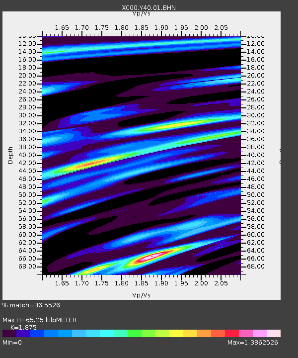
Y40 Y40 - Earthquake Result Viewer

Earthquake location: Windward Islands
Earthquake latitude/longitude: 11.1/-62.6
Earthquake time(UTC): 2000/10/04 (278) 14:37:44 GMT
Earthquake Depth: 110 km
Earthquake Magnitude: 5.6 MB, 5.4 MS, 6.1 MW, 5.9 MD
Earthquake Catalog/Contributor: WHDF/NEIC
Network: XC Yellowstone Intermountain Seismic Array
Station: Y40 Y40
Lat/Lon: 45.35 N/110.75 W
Elevation: 1547 m
Distance: 53.3 deg
Az: 319.057 deg
Baz: 114.198 deg
Ray Param: 0.06581443
Estimated Moho Depth: 65.25 km
Estimated Crust Vp/Vs: 1.88
Assumed Crust Vp: 6.35 km/s
Estimated Crust Vs: 3.387 km/s
Estimated Crust Poisson's Ratio: 0.30
Radial Match: 86.5526 %
Radial Bump: 400
Transverse Match: 69.06839 %
Transverse Bump: 400
SOD ConfigId: 16820
Insert Time: 2010-02-26 15:01:29.494 +0000
GWidth: 2.5
Max Bumps: 400
Tol: 0.001

Signal To Noise

ChannelStoNSTALTA
XC:Y40:01:BHN:20001004T14:46:21.347998Z0.58080682.6239996E-74.517853E-7
XC:Y40:01:BHE:20001004T14:46:21.347998Z1.08632345.774802E-75.3159147E-7
XC:Y40:01:BHZ:20001004T14:46:21.347998Z3.1598279.133007E-72.8903503E-7
Arrivals
Ps9.4 SECOND
PpPs28 SECOND
PsPs/PpSs38 SECOND