Y03 Y03 - Earthquake Result Viewer
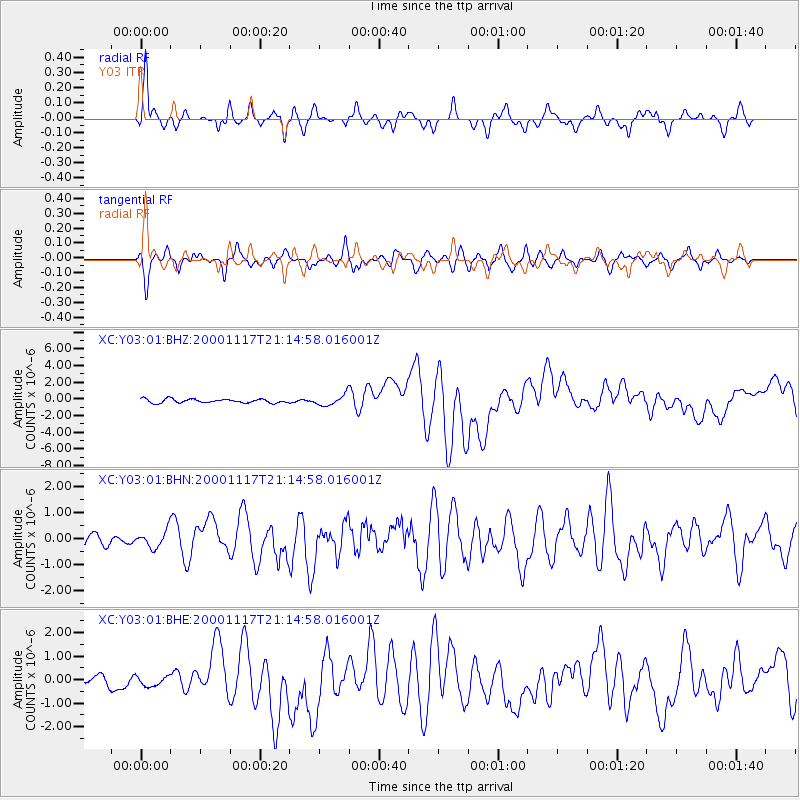
Earthquake location: New Britain Region, P.N.G.
Earthquake latitude/longitude: -5.5/151.8
Earthquake time(UTC): 2000/11/17 (322) 21:01:56 GMT
Earthquake Depth: 33 km
Earthquake Magnitude: 6.2 MB, 8.0 MS, 7.6 MW, 6.9 ME
Earthquake Catalog/Contributor: WHDF/NEIC
Network: XC Yellowstone Intermountain Seismic Array
Station: Y03 Y03
Lat/Lon: 43.81 N/112.31 W
Elevation: 1478 m
Distance: 98.0 deg
Az: 46.662 deg
Baz: 270.101 deg
Ray Param: 0.040012784
Estimated Moho Depth: 12.0 km
Estimated Crust Vp/Vs: 1.60
Assumed Crust Vp: 6.279 km/s
Estimated Crust Vs: 3.924 km/s
Estimated Crust Poisson's Ratio: 0.18
Radial Match: 83.9809 %
Radial Bump: 400
Transverse Match: 75.7121 %
Transverse Bump: 400
SOD ConfigId: 16820
Insert Time: 2010-02-26 15:01:51.090 +0000
GWidth: 2.5
Max Bumps: 400
Tol: 0.001

Signal To Noise

ChannelStoNSTALTA
XC:Y03:01:BHN:20001117T21:14:58.016001Z0.98381613.3765443E-73.4320888E-7
XC:Y03:01:BHE:20001117T21:14:58.016001Z0.738781872.0331619E-72.7520463E-7
XC:Y03:01:BHZ:20001117T21:14:58.016001Z2.72916326.2252553E-72.2810126E-7
Arrivals
Ps1.2 SECOND
PpPs4.9 SECOND
PsPs/PpSs6.0 SECOND