Y02 Y02 - Earthquake Result Viewer
Earthquake location: El Salvador
Earthquake latitude/longitude: 13.7/-88.9
Earthquake time(UTC): 2001/02/13 (044) 14:22:05 GMT
Earthquake Depth: 10 km
Earthquake Magnitude: 5.5 MB, 6.5 MS, 6.6 MW, 6.1 MD
Earthquake Catalog/Contributor: WHDF/NEIC
Network: XC Yellowstone Intermountain Seismic Array
Station: Y02 Y02
Lat/Lon: 44.07 N/112.64 W
Elevation: 1532 m
Distance: 36.5 deg
Az: 330.819 deg
Baz: 138.889 deg
Ray Param: 0.07667172
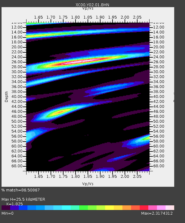
Estimated Moho Depth: 25.5 km
Estimated Crust Vp/Vs: 1.83
Assumed Crust Vp: 6.577 km/s
Estimated Crust Vs: 3.604 km/s
Estimated Crust Poisson's Ratio: 0.29
Radial Match: 86.50867 %
Radial Bump: 336
Transverse Match: 83.72169 %
Transverse Bump: 378
SOD ConfigId: 3744
Insert Time: 2010-02-26 15:03:34.660 +0000
GWidth: 2.5
Max Bumps: 400
Tol: 0.001

Signal To Noise

ChannelStoNSTALTA
XC:Y02:01:BHN:20010213T14:28:40.023003Z0.926545565.6748354E-66.1247233E-6
XC:Y02:01:BHE:20010213T14:28:40.023003Z0.9666716.2444797E-66.4597775E-6
XC:Y02:01:BHZ:20010213T14:28:40.023003Z1.61894141.1274959E-56.964402E-6
Arrivals
Ps3.5 SECOND
PpPs10 SECOND
PsPs/PpSs14 SECOND