
Y47 Y47 - Earthquake Result Viewer

| ||||||||||||||||||
| ||||||||||||||||||
| ||||||||||||||||||
|
Signal To Noise
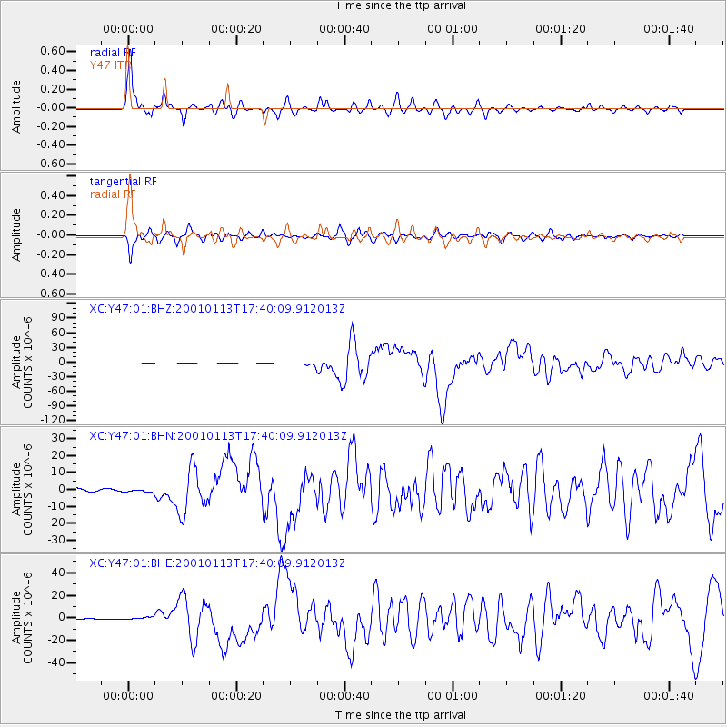
| Channel | StoN | STA | LTA |
| XC:Y47:01:BHN:20010113T17:40:09.912013Z | 1.2190524 | 8.8230615E-7 | 7.2376395E-7 |
| XC:Y47:01:BHE:20010113T17:40:09.912013Z | 2.350489 | 1.2262327E-6 | 5.2169264E-7 |
| XC:Y47:01:BHZ:20010113T17:40:09.912013Z | 6.4358873 | 2.7516398E-6 | 4.2754633E-7 |
| Arrivals | |
| Ps | 6.7 SECOND |
| PpPs | 21 SECOND |
| PsPs/PpSs | 28 SECOND |

