Y44 Y44 - Earthquake Result Viewer
Earthquake location: Near S. Coast Of Honshu, Japan
Earthquake latitude/longitude: 34.2/139.1
Earthquake time(UTC): 2000/07/01 (183) 07:01:55 GMT
Earthquake Depth: 10 km
Earthquake Magnitude: 6.0 MB, 6.1 MS, 6.2 MW, 6.2 MW
Earthquake Catalog/Contributor: WHDF/NEIC
Network: XC Yellowstone Intermountain Seismic Array
Station: Y44 Y44
Lat/Lon: 44.10 N/109.19 W
Elevation: 2121 m
Distance: 80.3 deg
Az: 42.773 deg
Baz: 308.641 deg
Ray Param: 0.048339352
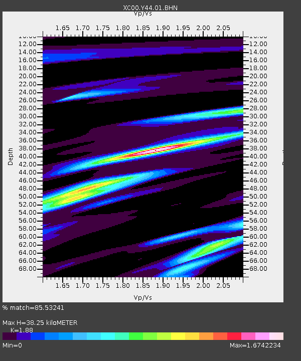
Estimated Moho Depth: 38.25 km
Estimated Crust Vp/Vs: 1.88
Assumed Crust Vp: 6.242 km/s
Estimated Crust Vs: 3.32 km/s
Estimated Crust Poisson's Ratio: 0.30
Radial Match: 85.53241 %
Radial Bump: 400
Transverse Match: 79.955185 %
Transverse Bump: 400
SOD ConfigId: 3744
Insert Time: 2010-02-26 15:04:36.072 +0000
GWidth: 2.5
Max Bumps: 400
Tol: 0.001

Signal To Noise

ChannelStoNSTALTA
XC:Y44:01:BHN:20000701T07:13:35.527998Z0.81541358.11664E-89.954018E-8
XC:Y44:01:BHE:20000701T07:13:35.527998Z0.63804434.483776E-87.027374E-8
XC:Y44:01:BHZ:20000701T07:13:35.527998Z1.0417986.0476715E-85.8050333E-8
Arrivals
Ps5.5 SECOND
PpPs17 SECOND
PsPs/PpSs23 SECOND