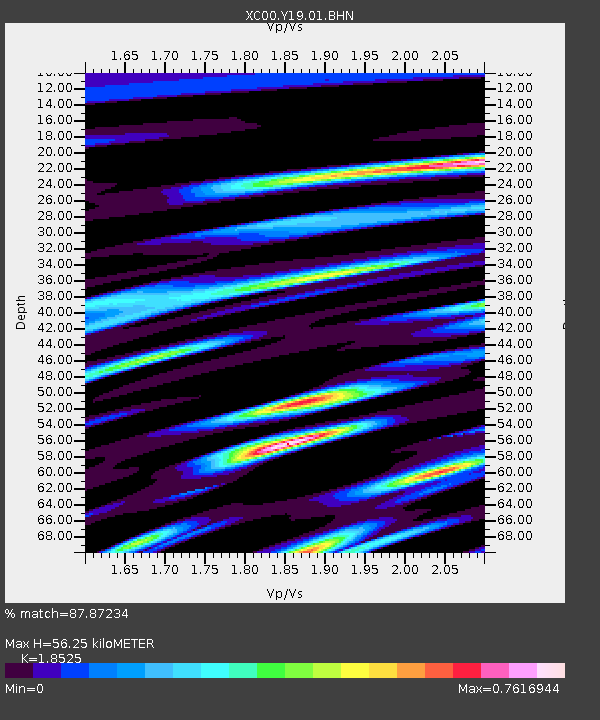
Y19 Y19 - Earthquake Result Viewer

Earthquake location: Near S. Coast Of Honshu, Japan
Earthquake latitude/longitude: 34.3/139.3
Earthquake time(UTC): 2000/07/15 (197) 01:30:30 GMT
Earthquake Depth: 10 km
Earthquake Magnitude: 5.5 MB, 5.9 MS, 6.1 MW, 6.0 MW
Earthquake Catalog/Contributor: WHDF/NEIC
Network: XC Yellowstone Intermountain Seismic Array
Station: Y19 Y19
Lat/Lon: 43.62 N/110.60 W
Elevation: 2091 m
Distance: 79.7 deg
Az: 43.871 deg
Baz: 307.832 deg
Ray Param: 0.048783746
Estimated Moho Depth: 56.25 km
Estimated Crust Vp/Vs: 1.85
Assumed Crust Vp: 6.207 km/s
Estimated Crust Vs: 3.35 km/s
Estimated Crust Poisson's Ratio: 0.29
Radial Match: 87.87234 %
Radial Bump: 400
Transverse Match: 76.46854 %
Transverse Bump: 400
SOD ConfigId: 3744
Insert Time: 2010-02-26 15:05:26.950 +0000
GWidth: 2.5
Max Bumps: 400
Tol: 0.001

Signal To Noise

ChannelStoNSTALTA
XC:Y19:01:BHN:20000715T01:42:06.952026Z0.85158717.559481E-88.876932E-8
XC:Y19:01:BHE:20000715T01:42:06.952026Z0.70171024.35739E-86.209671E-8
XC:Y19:01:BHZ:20000715T01:42:06.952026Z1.32482377.987523E-86.0291214E-8
Arrivals
Ps7.9 SECOND
PpPs25 SECOND
PsPs/PpSs33 SECOND