KAPU Kapuskasing Uplift (On) - Earthquake Result Viewer
Earthquake location: Near N. Coast Of Eastern Siberia
Earthquake latitude/longitude: 67.0/-173.2
Earthquake time(UTC): 1996/10/24 (298) 19:31:53 GMT
Earthquake Depth: 20 km
Earthquake Magnitude: 6.0 MB, 5.9 MS, 6.1 UNKNOWN, 5.8 ME
Earthquake Catalog/Contributor: WHDF/NEIC
Network: XB Abitibi Experiment
Station: KAPU Kapuskasing Uplift (On)
Lat/Lon: 48.13 N/82.91 W
Elevation: 0.0 m
Distance: 47.1 deg
Az: 66.207 deg
Baz: 327.52 deg
Ray Param: 0.07020922
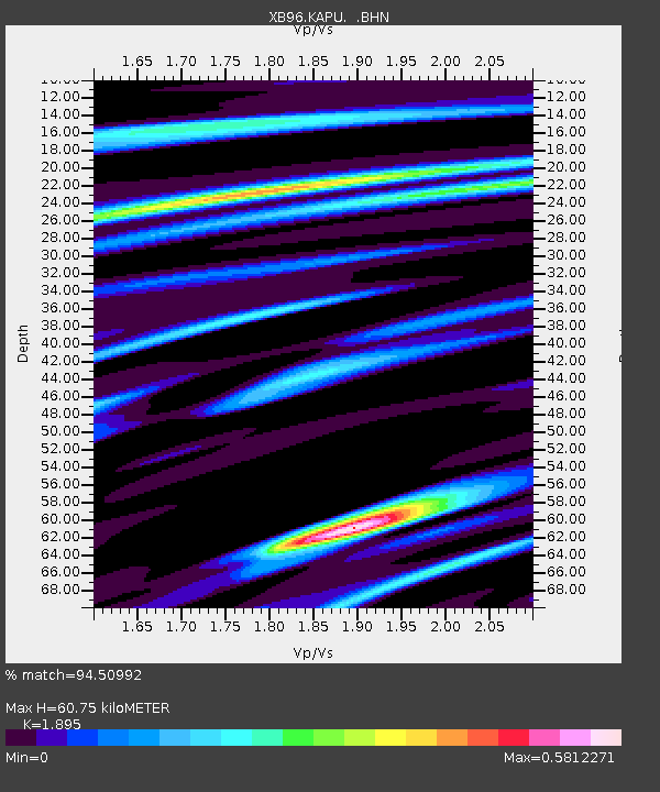
Estimated Moho Depth: 60.75 km
Estimated Crust Vp/Vs: 1.89
Assumed Crust Vp: 6.467 km/s
Estimated Crust Vs: 3.412 km/s
Estimated Crust Poisson's Ratio: 0.31
Radial Match: 94.50992 %
Radial Bump: 192
Transverse Match: 86.51979 %
Transverse Bump: 400
SOD ConfigId: 6273
Insert Time: 2010-03-09 00:54:10.514 +0000
GWidth: 2.5
Max Bumps: 400
Tol: 0.001

Signal To Noise

ChannelStoNSTALTA
XB:KAPU: :BHN:19961024T19:39:53.333014Z7.484158.456191E-71.12988E-7
XB:KAPU: :BHE:19961024T19:39:53.333014Z9.5025091.1819282E-61.2438065E-7
XB:KAPU: :BHZ:19961024T19:39:53.333014Z8.6575489.93482E-71.1475327E-7
Arrivals
Ps8.9 SECOND
PpPs26 SECOND
PsPs/PpSs35 SECOND