RUE GRSN/GEOFON Station Ruedersdorf, Germany - Earthquake Result Viewer
Earthquake location: Unimak Island Region, Alaska
Earthquake latitude/longitude: 53.8/-164.1
Earthquake time(UTC): 2005/11/20 (324) 12:53:02 GMT
Earthquake Depth: 30 km
Earthquake Magnitude: 5.7 MB, 5.8 MS, 6.2 MW, 6.0 MW
Earthquake Catalog/Contributor: WHDF/NEIC
Network: GE GEOFON
Station: RUE GRSN/GEOFON Station Ruedersdorf, Germany
Lat/Lon: 52.48 N/13.78 E
Elevation: 40 m
Distance: 74.0 deg
Az: 1.353 deg
Baz: 358.689 deg
Ray Param: 0.052562285
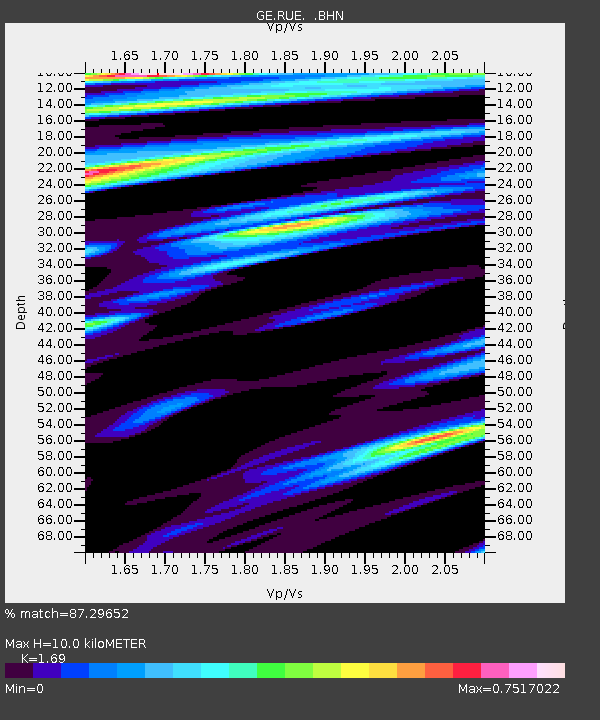
Estimated Moho Depth: 10.0 km
Estimated Crust Vp/Vs: 1.69
Assumed Crust Vp: 6.039 km/s
Estimated Crust Vs: 3.573 km/s
Estimated Crust Poisson's Ratio: 0.23
Radial Match: 87.29652 %
Radial Bump: 400
Transverse Match: 74.76988 %
Transverse Bump: 400
SOD ConfigId: 2448
Insert Time: 2010-03-09 06:18:57.536 +0000
GWidth: 2.5
Max Bumps: 400
Tol: 0.001

Signal To Noise

ChannelStoNSTALTA
GE:RUE: :BHN:20051120T13:04:04.785022Z2.0998093.920825E-71.8672296E-7
GE:RUE: :BHE:20051120T13:04:04.785022Z0.732180831.5413896E-72.1052034E-7
GE:RUE: :BHZ:20051120T13:04:04.785022Z9.4013991.377462E-61.4651671E-7
Arrivals
Ps1.2 SECOND
PpPs4.3 SECOND
PsPs/PpSs5.5 SECOND