NAI IRIS/GEOFON Station Nairobi, Kenya - Earthquake Result Viewer
Earthquake location: Northern Mid-Atlantic Ridge
Earthquake latitude/longitude: 33.8/-38.6
Earthquake time(UTC): 1995/04/17 (107) 07:14:35 GMT
Earthquake Depth: 10 km
Earthquake Magnitude: 5.8 MB, 5.8 MS, 5.9 UNKNOWN, 6.1 MW
Earthquake Catalog/Contributor: WHDF/NEIC
Network: GE GEOFON
Station: NAI IRIS/GEOFON Station Nairobi, Kenya
Lat/Lon: 1.27 S/36.80 E
Elevation: 1692 m
Distance: 78.6 deg
Az: 99.265 deg
Baz: 304.689 deg
Ray Param: 0.049530037
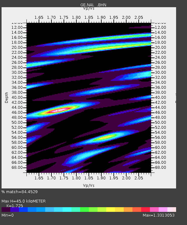
Estimated Moho Depth: 45.0 km
Estimated Crust Vp/Vs: 1.73
Assumed Crust Vp: 6.601 km/s
Estimated Crust Vs: 3.826 km/s
Estimated Crust Poisson's Ratio: 0.25
Radial Match: 84.4529 %
Radial Bump: 400
Transverse Match: 70.28004 %
Transverse Bump: 400
SOD ConfigId: 6273
Insert Time: 2010-03-09 06:19:55.056 +0000
GWidth: 2.5
Max Bumps: 400
Tol: 0.001

Signal To Noise

ChannelStoNSTALTA
GE:NAI: :BHN:19950417T07:26:05.603015Z1.02359647.04569E-86.88327E-8
GE:NAI: :BHE:19950417T07:26:05.603015Z1.25706837.656124E-86.0904604E-8
GE:NAI: :BHZ:19950417T07:26:05.603015Z1.1119951.0104562E-79.086878E-8
Arrivals
Ps5.1 SECOND
PpPs18 SECOND
PsPs/PpSs23 SECOND