KOPG XW.KOPG - Earthquake Result Viewer
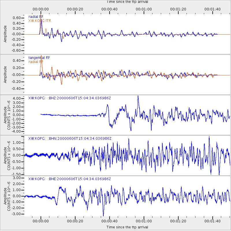
Earthquake location: Southeast Of Ryukyu Islands
Earthquake latitude/longitude: 29.4/131.4
Earthquake time(UTC): 2000/06/06 (158) 14:57:02 GMT
Earthquake Depth: 33 km
Earthquake Magnitude: 5.8 MB, 6.0 MS, 6.4 MW, 6.4 MW
Earthquake Catalog/Contributor: WHDF/NEIC
Network: XW Tien Shan Continental Dynamics
Station: KOPG XW.KOPG
Lat/Lon: 40.50 N/79.04 E
Elevation: 1114 m
Distance: 43.8 deg
Az: 299.156 deg
Baz: 87.664 deg
Ray Param: 0.072274595
Estimated Moho Depth: 49.0 km
Estimated Crust Vp/Vs: 1.80
Assumed Crust Vp: 6.353 km/s
Estimated Crust Vs: 3.539 km/s
Estimated Crust Poisson's Ratio: 0.27
Radial Match: 88.40303 %
Radial Bump: 400
Transverse Match: 72.318886 %
Transverse Bump: 400
SOD ConfigId: 3744
Insert Time: 2010-02-26 15:37:02.160 +0000
GWidth: 2.5
Max Bumps: 400
Tol: 0.001

Signal To Noise

ChannelStoNSTALTA
XW:KOPG: :BHN:20000606T15:04:34.036986Z1.83783451.853658E-71.0086099E-7
XW:KOPG: :BHE:20000606T15:04:34.036986Z1.2977311.0812644E-78.3319605E-8
XW:KOPG: :BHZ:20000606T15:04:34.036986Z1.11262971.2510512E-71.1244093E-7
Arrivals
Ps6.5 SECOND
PpPs20 SECOND
PsPs/PpSs27 SECOND