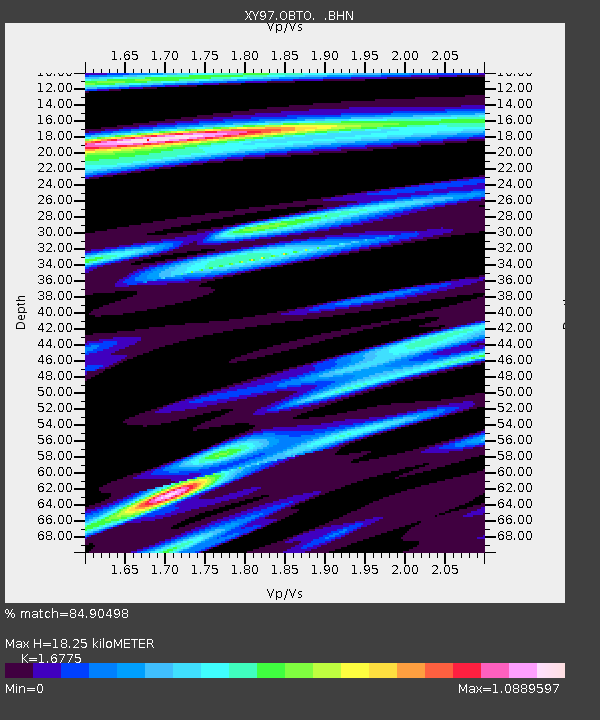
OBTO Observatorio - Earthquake Result Viewer

Earthquake location: Peru-Bolivia Border Region
Earthquake latitude/longitude: -13.7/-68.8
Earthquake time(UTC): 1997/11/28 (332) 22:53:41 GMT
Earthquake Depth: 586 km
Earthquake Magnitude: 6.4 MB, 6.6 UNKNOWN, 6.6 MW
Earthquake Catalog/Contributor: WHDF/NEIC
Network: XY Northern Baja Transect
Station: OBTO Observatorio
Lat/Lon: 31.05 N/115.46 W
Elevation: 2774 m
Distance: 63.2 deg
Az: 315.603 deg
Baz: 127.616 deg
Ray Param: 0.057508215
Estimated Moho Depth: 18.25 km
Estimated Crust Vp/Vs: 1.68
Assumed Crust Vp: 6.276 km/s
Estimated Crust Vs: 3.741 km/s
Estimated Crust Poisson's Ratio: 0.22
Radial Match: 84.90498 %
Radial Bump: 397
Transverse Match: 73.14086 %
Transverse Bump: 400
SOD ConfigId: 9875
Insert Time: 2010-03-09 10:50:36.981 +0000
GWidth: 2.5
Max Bumps: 400
Tol: 0.001

Signal To Noise

ChannelStoNSTALTA
XY:OBTO: :BHN:19971128T23:02:42.325012Z1.88102393.1243792E-71.6609992E-7
XY:OBTO: :BHE:19971128T23:02:42.325012Z3.39902165.709455E-71.6797347E-7
XY:OBTO: :BHZ:19971128T23:02:42.325012Z4.6197551.2008484E-62.5993768E-7
Arrivals
Ps2.1 SECOND
PpPs7.5 SECOND
PsPs/PpSs9.5 SECOND