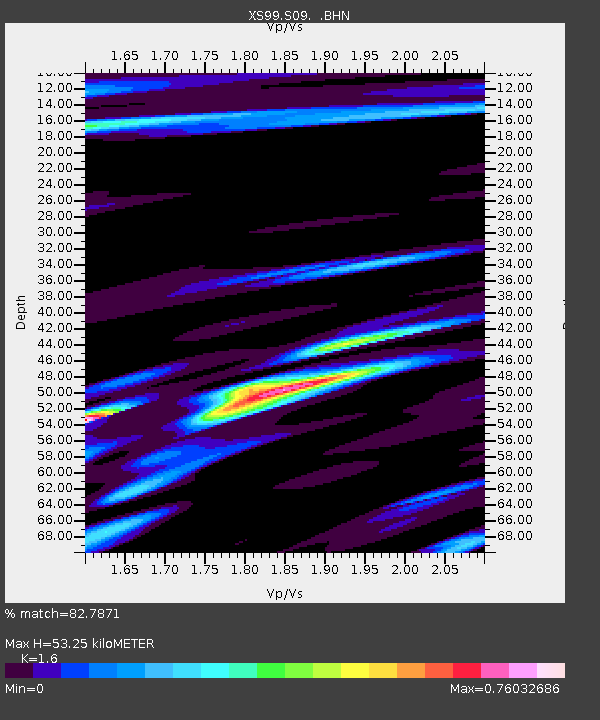
S09 XS.S09 - Earthquake Result Viewer

Earthquake location: Southeast Of Shikoku, Japan
Earthquake latitude/longitude: 29.4/132.1
Earthquake time(UTC): 2000/06/15 (167) 11:10:46 GMT
Earthquake Depth: 10 km
Earthquake Magnitude: 6.0 MB, 5.6 MS, 6.1 MW, 6.1 MW
Earthquake Catalog/Contributor: WHDF/NEIC
Network: XS Montana BB Array
Station: S09 XS.S09
Lat/Lon: 45.56 N/109.20 W
Elevation: 1800 m
Distance: 87.0 deg
Az: 38.099 deg
Baz: 309.952 deg
Ray Param: 0.043649215
Estimated Moho Depth: 53.25 km
Estimated Crust Vp/Vs: 1.60
Assumed Crust Vp: 6.242 km/s
Estimated Crust Vs: 3.901 km/s
Estimated Crust Poisson's Ratio: 0.18
Radial Match: 82.7871 %
Radial Bump: 400
Transverse Match: 73.34474 %
Transverse Bump: 400
SOD ConfigId: 20082
Insert Time: 2010-03-09 12:32:07.079 +0000
GWidth: 2.5
Max Bumps: 400
Tol: 0.001

Signal To Noise

ChannelStoNSTALTA
XS:S09: :BHN:20000615T11:22:59.999001Z1.01335431.589192E-71.5682492E-7
XS:S09: :BHE:20000615T11:22:59.999001Z1.95566693.0545627E-71.5619032E-7
XS:S09: :BHZ:20000615T11:22:59.999001Z4.5611826.154782E-71.349383E-7
Arrivals
Ps5.2 SECOND
PpPs22 SECOND
PsPs/PpSs27 SECOND