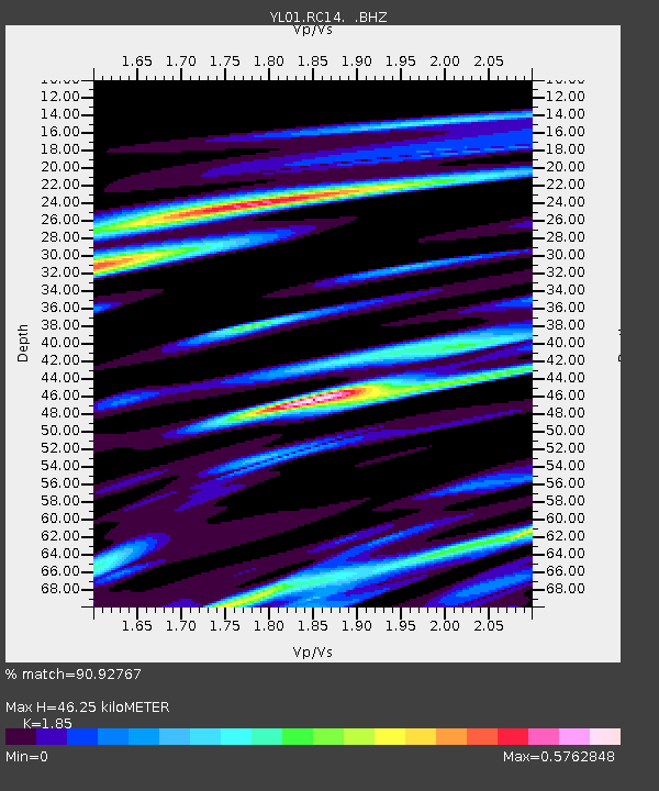
RC14 YL.RC14 - Earthquake Result Viewer

Earthquake location: Sumbawa Region, Indonesia
Earthquake latitude/longitude: -8.2/118.3
Earthquake time(UTC): 2002/10/06 (279) 15:46:33 GMT
Earthquake Depth: 10 km
Earthquake Magnitude: 5.8 MB, 6.0 MS, 6.2 MW, 6.2 MW
Earthquake Catalog/Contributor: WHDF/NEIC
Network: YL Himalayan Nepal Tibet Experiment
Station: RC14 YL.RC14
Lat/Lon: 29.50 N/86.44 E
Elevation: 4756 m
Distance: 48.5 deg
Az: 322.002 deg
Baz: 135.65 deg
Ray Param: 0.069352955
Estimated Moho Depth: 46.25 km
Estimated Crust Vp/Vs: 1.85
Assumed Crust Vp: 6.514 km/s
Estimated Crust Vs: 3.521 km/s
Estimated Crust Poisson's Ratio: 0.29
Radial Match: 90.92767 %
Radial Bump: 388
Transverse Match: 85.52855 %
Transverse Bump: 400
SOD ConfigId: 16820
Insert Time: 2010-02-26 16:05:40.330 +0000
GWidth: 2.5
Max Bumps: 400
Tol: 0.001

Signal To Noise

ChannelStoNSTALTA
YL:RC14: :BHZ:20021006T15:54:44.563009Z0.52977041.8699224E-83.5296846E-8
YL:RC14: :BHN:20021006T15:54:44.563009Z1.00090163.5656434E-83.5624314E-8
YL:RC14: :BHE:20021006T15:54:44.563009Z0.921962563.9883734E-84.32596E-8
Arrivals
Ps6.4 SECOND
PpPs19 SECOND
PsPs/PpSs25 SECOND