RC14 YL.RC14 - Earthquake Result Viewer
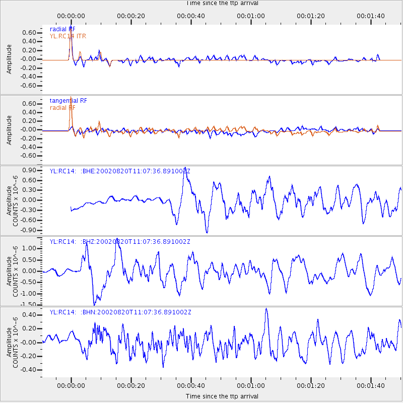
Earthquake location: Southeast Of Honshu, Japan
Earthquake latitude/longitude: 31.0/142.0
Earthquake time(UTC): 2002/08/20 (232) 10:59:32 GMT
Earthquake Depth: 9.0 km
Earthquake Magnitude: 5.4 MB, 6.2 MS, 6.3 MW, 6.1 MW
Earthquake Catalog/Contributor: WHDF/NEIC
Network: YL Himalayan Nepal Tibet Experiment
Station: RC14 YL.RC14
Lat/Lon: 29.50 N/86.44 E
Elevation: 4756 m
Distance: 47.6 deg
Az: 283.152 deg
Baz: 73.592 deg
Ray Param: 0.069907665
Estimated Moho Depth: 62.75 km
Estimated Crust Vp/Vs: 1.93
Assumed Crust Vp: 6.514 km/s
Estimated Crust Vs: 3.38 km/s
Estimated Crust Poisson's Ratio: 0.32
Radial Match: 87.68501 %
Radial Bump: 400
Transverse Match: 62.827435 %
Transverse Bump: 400
SOD ConfigId: 16844
Insert Time: 2010-02-26 16:05:46.288 +0000
GWidth: 2.5
Max Bumps: 400
Tol: 0.001

Signal To Noise

ChannelStoNSTALTA
YL:RC14: :BHZ:20020820T11:07:36.891002Z5.18625263.1448747E-76.063867E-8
YL:RC14: :BHN:20020820T11:07:36.891002Z0.76055371.8821522E-72.4747132E-7
YL:RC14: :BHE:20020820T11:07:36.891002Z1.73506581.9007472E-71.0954899E-7
Arrivals
Ps9.5 SECOND
PpPs27 SECOND
PsPs/PpSs36 SECOND