RC14 YL.RC14 - Earthquake Result Viewer
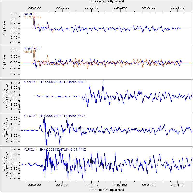
Earthquake location: Kuril Islands
Earthquake latitude/longitude: 43.1/146.1
Earthquake time(UTC): 2002/08/24 (236) 18:40:53 GMT
Earthquake Depth: 43 km
Earthquake Magnitude: 5.9 MB, 5.8 MS, 6.2 MW, 6.1 MW
Earthquake Catalog/Contributor: WHDF/NEIC
Network: YL Himalayan Nepal Tibet Experiment
Station: RC14 YL.RC14
Lat/Lon: 29.50 N/86.44 E
Elevation: 4756 m
Distance: 49.0 deg
Az: 274.488 deg
Baz: 56.872 deg
Ray Param: 0.06887433
Estimated Moho Depth: 24.0 km
Estimated Crust Vp/Vs: 1.77
Assumed Crust Vp: 6.514 km/s
Estimated Crust Vs: 3.68 km/s
Estimated Crust Poisson's Ratio: 0.27
Radial Match: 85.59952 %
Radial Bump: 400
Transverse Match: 83.04858 %
Transverse Bump: 400
SOD ConfigId: 16844
Insert Time: 2010-02-26 16:05:48.978 +0000
GWidth: 2.5
Max Bumps: 400
Tol: 0.001

Signal To Noise

ChannelStoNSTALTA
YL:RC14: :BHZ:20020824T18:49:05.440Z7.66065843.3703773E-74.399592E-8
YL:RC14: :BHN:20020824T18:49:05.440Z1.53887266.29548E-84.0909686E-8
YL:RC14: :BHE:20020824T18:49:05.440Z2.4408171.4435338E-75.9141414E-8
Arrivals
Ps3.0 SECOND
PpPs9.6 SECOND
PsPs/PpSs13 SECOND