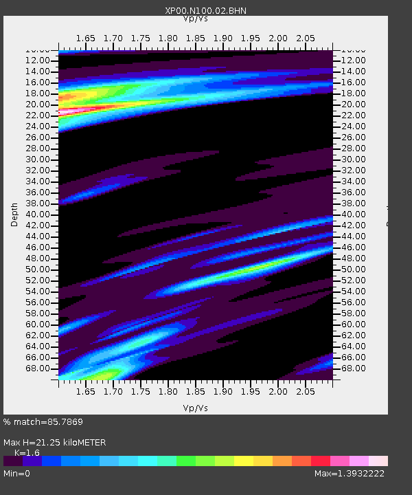
N100 N100 - Earthquake Result Viewer

Earthquake location: Prince Edward Islands Region
Earthquake latitude/longitude: -46.0/35.1
Earthquake time(UTC): 2003/01/27 (027) 17:56:25 GMT
Earthquake Depth: 10 km
Earthquake Magnitude: 5.6 MB, 6.3 MS, 6.5 MW, 6.4 MW
Earthquake Catalog/Contributor: WHDF/NEIC
Network: XP Trans Antarctic Mountain Seismic Experiment
Station: N100 N100
Lat/Lon: 81.65 S/122.61 E
Elevation: 2933 m
Distance: 44.4 deg
Az: 167.96 deg
Baz: 263.812 deg
Ray Param: 0.0719277
Estimated Moho Depth: 21.25 km
Estimated Crust Vp/Vs: 1.60
Assumed Crust Vp: 6.261 km/s
Estimated Crust Vs: 3.913 km/s
Estimated Crust Poisson's Ratio: 0.18
Radial Match: 85.7869 %
Radial Bump: 400
Transverse Match: 71.80236 %
Transverse Bump: 400
SOD ConfigId: 16820
Insert Time: 2010-03-09 13:44:26.816 +0000
GWidth: 2.5
Max Bumps: 400
Tol: 0.001

Signal To Noise

ChannelStoNSTALTA
XP:N100:02:BHN:20030127T18:04:05.770002Z1.33870332.5663093E-71.9170112E-7
XP:N100:02:BHE:20030127T18:04:05.770002Z3.35664876.156898E-71.8342396E-7
XP:N100:02:BHZ:20030127T18:04:05.770002Z12.0652572.0118111E-61.6674414E-7
Arrivals
Ps2.2 SECOND
PpPs8.2 SECOND
PsPs/PpSs10 SECOND