N108 N108 - Earthquake Result Viewer
Earthquake location: South Sandwich Islands Region
Earthquake latitude/longitude: -57.0/-24.8
Earthquake time(UTC): 2002/12/17 (351) 04:32:53 GMT
Earthquake Depth: 10 km
Earthquake Magnitude: 5.4 MB, 6.3 MS, 6.2 MW, 6.0 MW
Earthquake Catalog/Contributor: WHDF/NEIC
Network: XP Trans Antarctic Mountain Seismic Experiment
Station: N108 N108
Lat/Lon: 81.88 S/117.61 E
Elevation: 3061 m
Distance: 40.0 deg
Az: 172.245 deg
Baz: 211.33 deg
Ray Param: 0.074663505
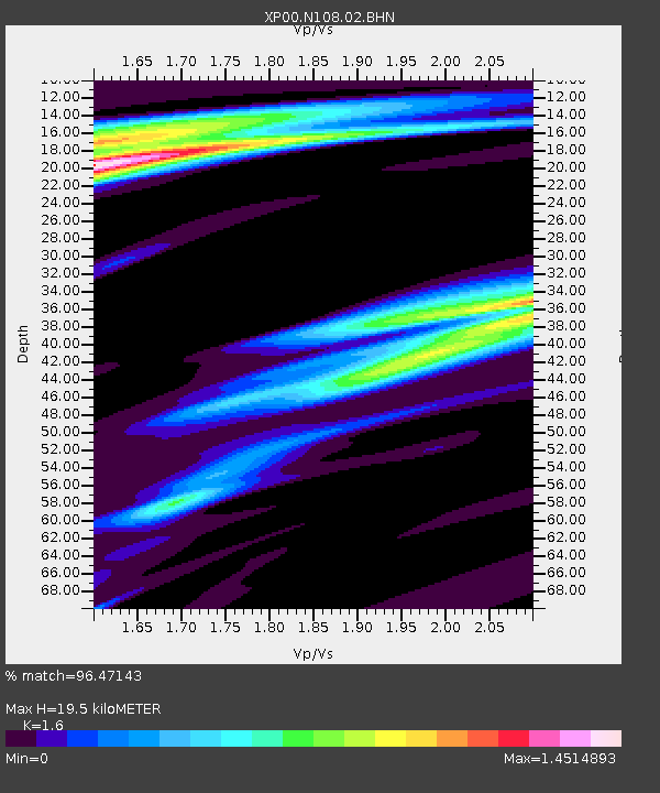
Estimated Moho Depth: 19.5 km
Estimated Crust Vp/Vs: 1.60
Assumed Crust Vp: 6.261 km/s
Estimated Crust Vs: 3.913 km/s
Estimated Crust Poisson's Ratio: 0.18
Radial Match: 96.47143 %
Radial Bump: 263
Transverse Match: 81.5755 %
Transverse Bump: 400
SOD ConfigId: 16820
Insert Time: 2010-03-09 13:44:36.778 +0000
GWidth: 2.5
Max Bumps: 400
Tol: 0.001

Signal To Noise

ChannelStoNSTALTA
XP:N108:02:BHN:20021217T04:39:56.878014Z4.35442455.996425E-71.3770878E-7
XP:N108:02:BHE:20021217T04:39:56.878014Z2.83122634.0399436E-71.4269236E-7
XP:N108:02:BHZ:20021217T04:39:56.878014Z13.79449751.6263507E-61.1789851E-7
Arrivals
Ps2.0 SECOND
PpPs7.5 SECOND
PsPs/PpSs9.5 SECOND