N108 N108 - Earthquake Result Viewer
Earthquake location: Near N Coast Of New Guinea, P.N.G.
Earthquake latitude/longitude: -3.2/142.4
Earthquake time(UTC): 2002/01/10 (010) 11:14:56 GMT
Earthquake Depth: 11 km
Earthquake Magnitude: 6.0 MB, 6.6 MS, 6.7 MW, 6.6 MW
Earthquake Catalog/Contributor: WHDF/NEIC
Network: XP Trans Antarctic Mountain Seismic Experiment
Station: N108 N108
Lat/Lon: 81.88 S/117.61 E
Elevation: 3061 m
Distance: 79.4 deg
Az: 183.482 deg
Baz: 25.241 deg
Ray Param: 0.048984732
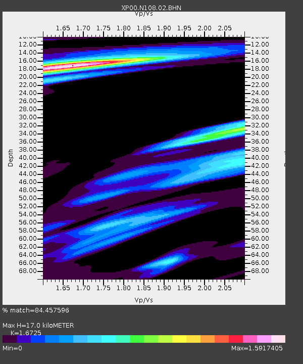
Estimated Moho Depth: 17.0 km
Estimated Crust Vp/Vs: 1.67
Assumed Crust Vp: 6.261 km/s
Estimated Crust Vs: 3.743 km/s
Estimated Crust Poisson's Ratio: 0.22
Radial Match: 84.457596 %
Radial Bump: 400
Transverse Match: 66.43007 %
Transverse Bump: 400
SOD ConfigId: 16820
Insert Time: 2010-03-09 13:44:39.425 +0000
GWidth: 2.5
Max Bumps: 400
Tol: 0.001

Signal To Noise

ChannelStoNSTALTA
XP:N108:02:BHN:20020110T11:26:31.536018Z3.81259631.2785778E-63.353562E-7
XP:N108:02:BHE:20020110T11:26:31.536018Z2.18261967.251911E-73.3225726E-7
XP:N108:02:BHZ:20020110T11:26:31.536018Z3.2784411.628584E-64.967556E-7
Arrivals
Ps1.9 SECOND
PpPs7.0 SECOND
PsPs/PpSs8.9 SECOND