NH GY.NH - Earthquake Result Viewer
Earthquake location: New Ireland Region, P.N.G.
Earthquake latitude/longitude: -4.7/153.2
Earthquake time(UTC): 1993/09/06 (249) 03:56:02 GMT
Earthquake Depth: 73 km
Earthquake Magnitude: 6.0 MB, 6.6 MS, 6.7 UNKNOWN, 6.6 MW
Earthquake Catalog/Contributor: WHDF/NEIC
Network: GY Geyokcha, Turkmenistan Seismic Array
Station: NH GY.NH
Lat/Lon: 37.93 N/58.11 E
Elevation: 663 m
Distance: 96.9 deg
Az: 307.499 deg
Baz: 90.594 deg
Ray Param: 0.040325146
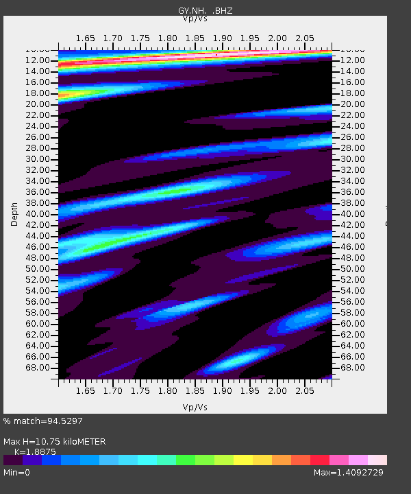
Estimated Moho Depth: 10.75 km
Estimated Crust Vp/Vs: 1.89
Assumed Crust Vp: 6.53 km/s
Estimated Crust Vs: 3.46 km/s
Estimated Crust Poisson's Ratio: 0.30
Radial Match: 94.5297 %
Radial Bump: 400
Transverse Match: 91.0339 %
Transverse Bump: 400
SOD ConfigId: 4480
Insert Time: 2010-03-09 13:58:24.363 +0000
GWidth: 2.5
Max Bumps: 400
Tol: 0.001

Signal To Noise

ChannelStoNSTALTA
GY:NH: :BHZ:19930906T04:08:54.000012Z12.914728541.071841.895714
GY:NH: :BHN:19930906T04:08:54.000012Z1.561844141.24944726.410732
GY:NH: :BHE:19930906T04:08:54.000012Z2.17305176.0275434.98654
Arrivals
Ps1.5 SECOND
PpPs4.7 SECOND
PsPs/PpSs6.2 SECOND