GNR Garner - Earthquake Result Viewer
Earthquake location: Southeast Of Honshu, Japan
Earthquake latitude/longitude: 30.1/141.8
Earthquake time(UTC): 2001/04/14 (104) 23:27:26 GMT
Earthquake Depth: 10 km
Earthquake Magnitude: 6.0 MB, 5.8 MS, 6.0 MW, 6.0 ME
Earthquake Catalog/Contributor: WHDF/NEIC
Network: XE Broadband Experiment Across Alaskan Range
Station: GNR Garner
Lat/Lon: 63.83 N/148.98 W
Elevation: 581 m
Distance: 54.3 deg
Az: 30.692 deg
Baz: 266.188 deg
Ray Param: 0.06552219
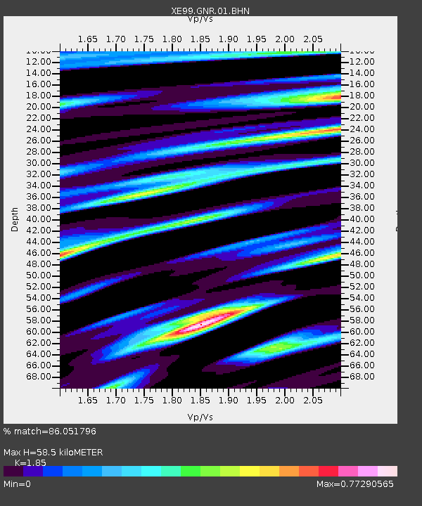
Estimated Moho Depth: 58.5 km
Estimated Crust Vp/Vs: 1.85
Assumed Crust Vp: 6.566 km/s
Estimated Crust Vs: 3.549 km/s
Estimated Crust Poisson's Ratio: 0.29
Radial Match: 86.051796 %
Radial Bump: 380
Transverse Match: 71.23146 %
Transverse Bump: 400
SOD ConfigId: 4714
Insert Time: 2010-03-09 14:17:14.930 +0000
GWidth: 2.5
Max Bumps: 400
Tol: 0.001

Signal To Noise

ChannelStoNSTALTA
XE:GNR:01:BHN:20010414T23:36:22.102017Z0.93894291.3270083E-71.4133003E-7
XE:GNR:01:BHE:20010414T23:36:22.102017Z5.3850925.2690245E-79.784466E-8
XE:GNR:01:BHZ:20010414T23:36:22.102017Z10.5141611.0757775E-61.0231701E-7
Arrivals
Ps8.0 SECOND
PpPs24 SECOND
PsPs/PpSs32 SECOND