YAN YANERT - Earthquake Result Viewer
Earthquake location: Solomon Islands
Earthquake latitude/longitude: -7.0/155.0
Earthquake time(UTC): 2001/05/29 (149) 23:37:19 GMT
Earthquake Depth: 14 km
Earthquake Magnitude: 5.7 MB, 6.4 MS, 6.4 MW, 5.7 ME
Earthquake Catalog/Contributor: WHDF/NEIC
Network: XE Broadband Experiment Across Alaskan Range
Station: YAN YANERT
Lat/Lon: 63.66 N/148.77 W
Elevation: 781 m
Distance: 82.1 deg
Az: 21.979 deg
Baz: 236.373 deg
Ray Param: 0.047126617
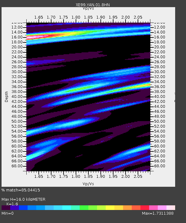
Estimated Moho Depth: 16.0 km
Estimated Crust Vp/Vs: 1.60
Assumed Crust Vp: 6.566 km/s
Estimated Crust Vs: 4.104 km/s
Estimated Crust Poisson's Ratio: 0.18
Radial Match: 85.04415 %
Radial Bump: 400
Transverse Match: 69.52713 %
Transverse Bump: 400
SOD ConfigId: 4714
Insert Time: 2010-03-09 14:30:38.212 +0000
GWidth: 2.5
Max Bumps: 400
Tol: 0.001

Signal To Noise

ChannelStoNSTALTA
XE:YAN:01:BHN:20010529T23:49:07.898997Z4.02171853.439524E-78.552374E-8
XE:YAN:01:BHE:20010529T23:49:07.898997Z5.3884223.7471312E-76.954042E-8
XE:YAN:01:BHZ:20010529T23:49:07.898997Z20.1613081.2433829E-66.167174E-8
Arrivals
Ps1.5 SECOND
PpPs6.1 SECOND
PsPs/PpSs7.7 SECOND