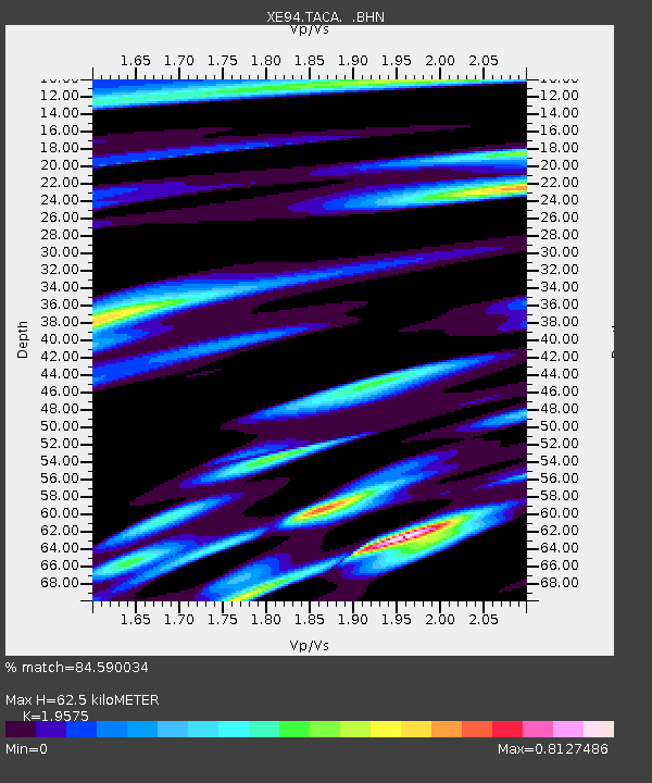
TACA XE.TACA - Earthquake Result Viewer

Earthquake location: South Sandwich Islands Region
Earthquake latitude/longitude: -55.9/-28.2
Earthquake time(UTC): 1995/03/26 (085) 02:16:16 GMT
Earthquake Depth: 77 km
Earthquake Magnitude: 6.1 MB, 5.9 MS, 6.4 UNKNOWN, 6.3 MW
Earthquake Catalog/Contributor: WHDF/NEIC
Network: XE BBand Andean Joint Exp. / Seismic Exploration of Deep Andes
Station: TACA XE.TACA
Lat/Lon: 18.83 S/66.73 W
Elevation: 3810 m
Distance: 46.9 deg
Az: 306.156 deg
Baz: 151.27 deg
Ray Param: 0.07007222
Estimated Moho Depth: 62.5 km
Estimated Crust Vp/Vs: 1.96
Assumed Crust Vp: 6.319 km/s
Estimated Crust Vs: 3.228 km/s
Estimated Crust Poisson's Ratio: 0.32
Radial Match: 84.590034 %
Radial Bump: 400
Transverse Match: 68.641174 %
Transverse Bump: 400
SOD ConfigId: 6273
Insert Time: 2010-03-09 14:34:28.660 +0000
GWidth: 2.5
Max Bumps: 400
Tol: 0.001

Signal To Noise

ChannelStoNSTALTA
XE:TACA: :BHN:19950326T02:24:08.684991Z1.68575631.2045064E-77.1451986E-8
XE:TACA: :BHE:19950326T02:24:08.684991Z1.51376892.2443724E-71.4826388E-7
XE:TACA: :BHZ:19950326T02:24:08.684991Z2.056373.6879192E-71.7934123E-7
Arrivals
Ps10.0 SECOND
PpPs28 SECOND
PsPs/PpSs38 SECOND