AZ46 Arizona46 - Earthquake Result Viewer
Earthquake location: Off Coast Of Central Chile
Earthquake latitude/longitude: -32.7/-73.1
Earthquake time(UTC): 2001/04/09 (099) 09:00:57 GMT
Earthquake Depth: 11 km
Earthquake Magnitude: 6.1 MB, 6.3 MS, 6.7 MW, 6.3 ME
Earthquake Catalog/Contributor: WHDF/NEIC
Network: XM Rio Grande Seismic Transect
Station: AZ46 Arizona46
Lat/Lon: 36.55 N/109.23 W
Elevation: 2009 m
Distance: 76.7 deg
Az: 330.807 deg
Baz: 149.276 deg
Ray Param: 0.050817795
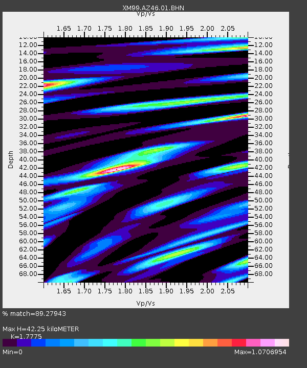
Estimated Moho Depth: 42.25 km
Estimated Crust Vp/Vs: 1.78
Assumed Crust Vp: 6.476 km/s
Estimated Crust Vs: 3.643 km/s
Estimated Crust Poisson's Ratio: 0.27
Radial Match: 89.27943 %
Radial Bump: 400
Transverse Match: 70.9608 %
Transverse Bump: 400
SOD ConfigId: 16820
Insert Time: 2010-02-26 17:20:46.907 +0000
GWidth: 2.5
Max Bumps: 400
Tol: 0.001

Signal To Noise

ChannelStoNSTALTA
XM:AZ46:01:BHN:20010409T09:12:16.867021Z0.49254499.5479756E-81.9384987E-7
XM:AZ46:01:BHE:20010409T09:12:16.867021Z0.75457561.816295E-72.4070417E-7
XM:AZ46:01:BHZ:20010409T09:12:16.867021Z2.13838671.9184878E-78.971659E-8
Arrivals
Ps5.2 SECOND
PpPs18 SECOND
PsPs/PpSs23 SECOND