AZ45 Arizona54 - Earthquake Result Viewer
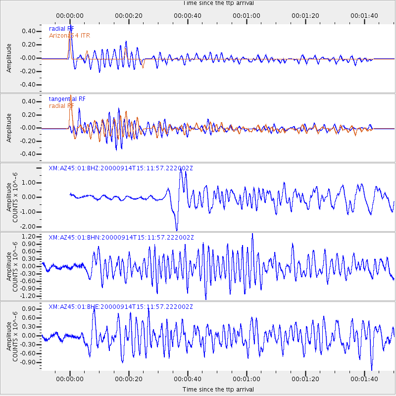
Earthquake location: Fiji Islands
Earthquake latitude/longitude: -15.7/179.8
Earthquake time(UTC): 2000/09/14 (258) 14:59:57 GMT
Earthquake Depth: 33 km
Earthquake Magnitude: 5.7 MB, 6.2 MS, 6.3 MW, 6.2 MW
Earthquake Catalog/Contributor: WHDF/NEIC
Network: XM Rio Grande Seismic Transect
Station: AZ45 Arizona54
Lat/Lon: 36.46 N/109.08 W
Elevation: 2683 m
Distance: 84.7 deg
Az: 50.002 deg
Baz: 246.205 deg
Ray Param: 0.045225564
Estimated Moho Depth: 31.5 km
Estimated Crust Vp/Vs: 1.72
Assumed Crust Vp: 6.476 km/s
Estimated Crust Vs: 3.765 km/s
Estimated Crust Poisson's Ratio: 0.24
Radial Match: 90.19129 %
Radial Bump: 400
Transverse Match: 81.01081 %
Transverse Bump: 400
SOD ConfigId: 16820
Insert Time: 2010-02-26 17:21:14.727 +0000
GWidth: 2.5
Max Bumps: 400
Tol: 0.001

Signal To Noise

ChannelStoNSTALTA
XM:AZ45:01:BHN:20000914T15:11:57.222002Z0.694495748.1820886E-81.1781337E-7
XM:AZ45:01:BHE:20000914T15:11:57.222002Z0.76492455.6325625E-87.363553E-8
XM:AZ45:01:BHZ:20000914T15:11:57.222002Z3.26565123.325276E-71.0182582E-7
Arrivals
Ps3.6 SECOND
PpPs13 SECOND
PsPs/PpSs16 SECOND