NM20 NewMexico20 - Earthquake Result Viewer
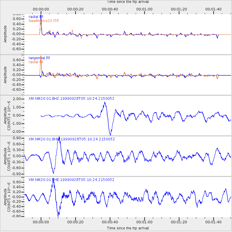
Earthquake location: Komandorskiye Ostrova Region
Earthquake latitude/longitude: 54.6/168.3
Earthquake time(UTC): 1999/09/28 (271) 05:00:42 GMT
Earthquake Depth: 33 km
Earthquake Magnitude: 5.4 MB, 6.1 MS, 6.1 MW, 6.1 MW
Earthquake Catalog/Contributor: WHDF/NEIC
Network: XM Rio Grande Seismic Transect
Station: NM20 NewMexico20
Lat/Lon: 33.60 N/105.59 W
Elevation: 2034 m
Distance: 61.3 deg
Az: 71.726 deg
Baz: 318.533 deg
Ray Param: 0.060924158
Estimated Moho Depth: 41.25 km
Estimated Crust Vp/Vs: 1.68
Assumed Crust Vp: 6.232 km/s
Estimated Crust Vs: 3.72 km/s
Estimated Crust Poisson's Ratio: 0.22
Radial Match: 81.64528 %
Radial Bump: 293
Transverse Match: 74.22358 %
Transverse Bump: 400
SOD ConfigId: 27569
Insert Time: 2010-02-26 17:23:20.357 +0000
GWidth: 2.5
Max Bumps: 400
Tol: 0.001

Signal To Noise

ChannelStoNSTALTA
XM:NM20:01:BHN:19990928T05:10:24.215005Z1.42863071.6283776E-71.1398171E-7
XM:NM20:01:BHE:19990928T05:10:24.215005Z1.63327321.428718E-78.747575E-8
XM:NM20:01:BHZ:19990928T05:10:24.215005Z1.73399641.6553591E-79.546497E-8
Arrivals
Ps4.7 SECOND
PpPs17 SECOND
PsPs/PpSs22 SECOND