NM22 NewMexico22 - Earthquake Result Viewer
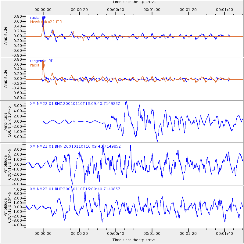
Earthquake location: Kodiak Island Region, Alaska
Earthquake latitude/longitude: 57.1/-153.2
Earthquake time(UTC): 2001/01/10 (010) 16:02:44 GMT
Earthquake Depth: 33 km
Earthquake Magnitude: 6.2 MB, 6.8 MS, 7.1 MW, 6.8 ML
Earthquake Catalog/Contributor: WHDF/NEIC
Network: XM Rio Grande Seismic Transect
Station: NM22 NewMexico22
Lat/Lon: 33.84 N/105.87 W
Elevation: 1691 m
Distance: 39.4 deg
Az: 105.504 deg
Baz: 320.787 deg
Ray Param: 0.074922465
Estimated Moho Depth: 38.25 km
Estimated Crust Vp/Vs: 1.72
Assumed Crust Vp: 6.232 km/s
Estimated Crust Vs: 3.634 km/s
Estimated Crust Poisson's Ratio: 0.24
Radial Match: 92.6466 %
Radial Bump: 400
Transverse Match: 67.42824 %
Transverse Bump: 400
SOD ConfigId: 3744
Insert Time: 2010-02-26 17:23:52.740 +0000
GWidth: 2.5
Max Bumps: 400
Tol: 0.001

Signal To Noise

ChannelStoNSTALTA
XM:NM22:01:BHN:20010110T16:09:40.714985Z1.11615874.845842E-74.341535E-7
XM:NM22:01:BHE:20010110T16:09:40.714985Z0.81571333.4389302E-74.2158567E-7
XM:NM22:01:BHZ:20010110T16:09:40.714985Z2.14696937.709323E-73.590793E-7
Arrivals
Ps4.7 SECOND
PpPs16 SECOND
PsPs/PpSs20 SECOND