NM15 NewMexico15 - Earthquake Result Viewer
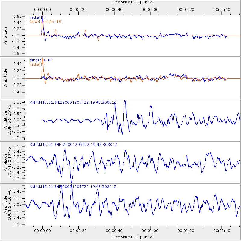
Earthquake location: Fox Islands, Aleutian Islands
Earthquake latitude/longitude: 52.6/-167.8
Earthquake time(UTC): 2000/12/05 (340) 22:11:34 GMT
Earthquake Depth: 33 km
Earthquake Magnitude: 5.6 MB, 5.6 MS, 5.9 MW, 5.4 ML
Earthquake Catalog/Contributor: WHDF/NEIC
Network: XM Rio Grande Seismic Transect
Station: NM15 NewMexico15
Lat/Lon: 33.01 N/104.91 W
Elevation: 1342 m
Distance: 48.5 deg
Az: 87.848 deg
Baz: 313.462 deg
Ray Param: 0.06926724
Estimated Moho Depth: 47.5 km
Estimated Crust Vp/Vs: 1.76
Assumed Crust Vp: 6.232 km/s
Estimated Crust Vs: 3.531 km/s
Estimated Crust Poisson's Ratio: 0.26
Radial Match: 81.44114 %
Radial Bump: 400
Transverse Match: 55.979362 %
Transverse Bump: 400
SOD ConfigId: 16820
Insert Time: 2010-02-26 17:25:08.353 +0000
GWidth: 2.5
Max Bumps: 400
Tol: 0.001

Signal To Noise

ChannelStoNSTALTA
XM:NM15:01:BHN:20001205T22:19:43.30801Z0.92256711.3239274E-71.4350472E-7
XM:NM15:01:BHE:20001205T22:19:43.30801Z0.71523486.080724E-88.501717E-8
XM:NM15:01:BHZ:20001205T22:19:43.30801Z1.76649571.5659847E-78.864922E-8
Arrivals
Ps6.2 SECOND
PpPs20 SECOND
PsPs/PpSs26 SECOND