
NM15 NewMexico15 - Earthquake Result Viewer

| ||||||||||||||||||
| ||||||||||||||||||
| ||||||||||||||||||
|
Signal To Noise
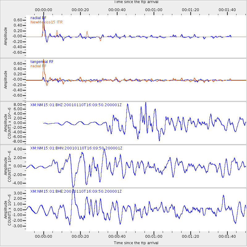
| Channel | StoN | STA | LTA |
| XM:NM15:01:BHN:20010110T16:09:50.200001Z | 0.79823697 | 3.1266447E-7 | 3.916938E-7 |
| XM:NM15:01:BHE:20010110T16:09:50.200001Z | 1.0671997 | 6.0634E-7 | 5.6815986E-7 |
| XM:NM15:01:BHZ:20010110T16:09:50.200001Z | 1.6257128 | 6.831858E-7 | 4.2023774E-7 |
| Arrivals | |
| Ps | 5.7 SECOND |
| PpPs | 20 SECOND |
| PsPs/PpSs | 26 SECOND |

