OSO Ossora - Earthquake Result Viewer
Earthquake location: Guerrero, Mexico
Earthquake latitude/longitude: 18.3/-101.5
Earthquake time(UTC): 1999/06/21 (172) 17:43:04 GMT
Earthquake Depth: 69 km
Earthquake Magnitude: 6.0 MB, 5.8 MS, 6.3 MW, 5.8 MD
Earthquake Catalog/Contributor: WHDF/NEIC
Network: XJ Side Edge of Kamchatka Subduction Zone
Station: OSO Ossora
Lat/Lon: 59.26 N/163.08 E
Elevation: 47 m
Distance: 77.2 deg
Az: 328.363 deg
Baz: 75.938 deg
Ray Param: 0.050374303
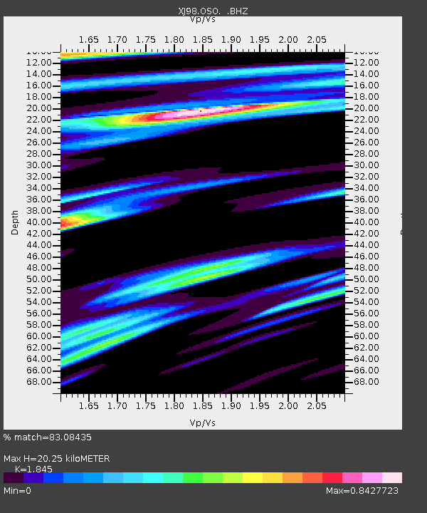
Estimated Moho Depth: 20.25 km
Estimated Crust Vp/Vs: 1.85
Assumed Crust Vp: 6.472 km/s
Estimated Crust Vs: 3.508 km/s
Estimated Crust Poisson's Ratio: 0.29
Radial Match: 83.08435 %
Radial Bump: 400
Transverse Match: 57.469955 %
Transverse Bump: 400
SOD ConfigId: 4480
Insert Time: 2010-03-09 19:54:46.026 +0000
GWidth: 2.5
Max Bumps: 400
Tol: 0.001

Signal To Noise

ChannelStoNSTALTA
XJ:OSO: :BHZ:19990621T17:54:19.725017Z9.4615942.8519892E-63.01428E-7
XJ:OSO: :BHN:19990621T17:54:19.725017Z2.2289168.0404624E-73.6073422E-7
XJ:OSO: :BHE:19990621T17:54:19.725017Z2.14869361.4779034E-66.878149E-7
Arrivals
Ps2.7 SECOND
PpPs8.6 SECOND
PsPs/PpSs11 SECOND