TIG Tigil - Earthquake Result Viewer
Earthquake location: Kyushu, Japan
Earthquake latitude/longitude: 30.6/131.1
Earthquake time(UTC): 1999/01/24 (024) 00:37:04 GMT
Earthquake Depth: 33 km
Earthquake Magnitude: 6.1 MB, 6.1 MS, 6.4 MW, 6.4 MW
Earthquake Catalog/Contributor: WHDF/NEIC
Network: XJ Side Edge of Kamchatka Subduction Zone
Station: TIG Tigil
Lat/Lon: 57.76 N/158.69 E
Elevation: 47 m
Distance: 33.1 deg
Az: 27.018 deg
Baz: 226.935 deg
Ray Param: 0.078291625
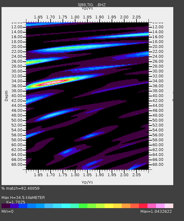
Estimated Moho Depth: 34.5 km
Estimated Crust Vp/Vs: 1.70
Assumed Crust Vp: 6.438 km/s
Estimated Crust Vs: 3.782 km/s
Estimated Crust Poisson's Ratio: 0.24
Radial Match: 92.48859 %
Radial Bump: 400
Transverse Match: 89.07747 %
Transverse Bump: 400
SOD ConfigId: 4480
Insert Time: 2010-03-09 19:57:06.757 +0000
GWidth: 2.5
Max Bumps: 400
Tol: 0.001

Signal To Noise

ChannelStoNSTALTA
XJ:TIG: :BHZ:19990124T00:43:07.458003Z11.8036063.508565E-62.9724518E-7
XJ:TIG: :BHN:19990124T00:43:07.458003Z4.1267821.5473369E-63.7495E-7
XJ:TIG: :BHE:19990124T00:43:07.458003Z3.15017031.2979503E-64.1202546E-7
Arrivals
Ps4.1 SECOND
PpPs13 SECOND
PsPs/PpSs17 SECOND