MOL Molde - Earthquake Result Viewer
Earthquake location: Southern Alaska
Earthquake latitude/longitude: 59.0/-155.1
Earthquake time(UTC): 2001/07/28 (209) 07:32:43 GMT
Earthquake Depth: 131 km
Earthquake Magnitude: 5.7 MB, 5.7 MS, 6.6 MW, 6.2 ME
Earthquake Catalog/Contributor: WHDF/NEIC
Network: YV North East Atlantic Tomography (NEAT)
Station: MOL Molde
Lat/Lon: 62.57 N/7.55 E
Elevation: 0.0 m
Distance: 58.0 deg
Az: 9.365 deg
Baz: 349.529 deg
Ray Param: 0.062726386
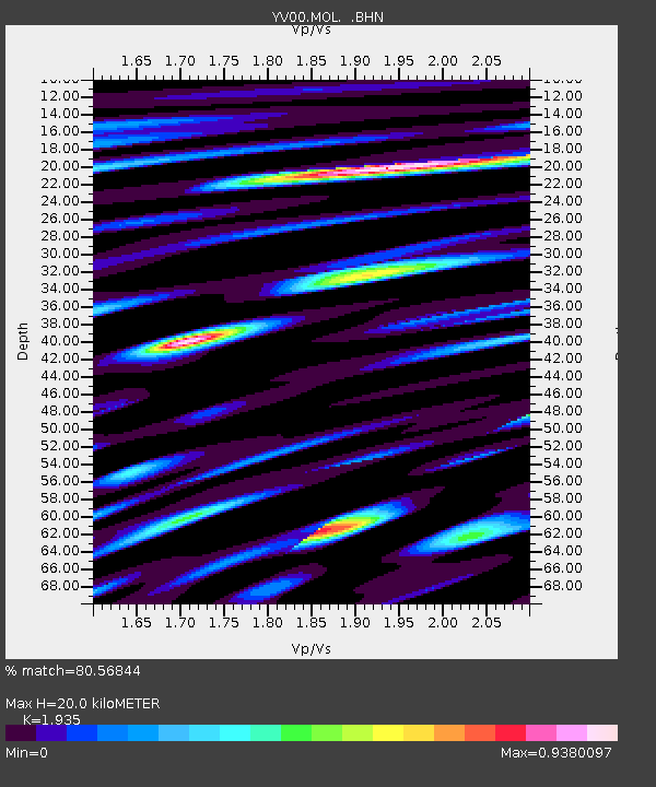
Estimated Moho Depth: 20.0 km
Estimated Crust Vp/Vs: 1.93
Assumed Crust Vp: 6.391 km/s
Estimated Crust Vs: 3.303 km/s
Estimated Crust Poisson's Ratio: 0.32
Radial Match: 80.56844 %
Radial Bump: 400
Transverse Match: 68.69457 %
Transverse Bump: 400
SOD ConfigId: 16820
Insert Time: 2010-03-09 20:40:48.863 +0000
GWidth: 2.5
Max Bumps: 400
Tol: 0.001

Signal To Noise

ChannelStoNSTALTA
YV:MOL: :BHN:20010728T07:41:51.286001Z2.52834.610155E-71.8234209E-7
YV:MOL: :BHE:20010728T07:41:51.286001Z1.16082623.5461497E-73.0548497E-7
YV:MOL: :BHZ:20010728T07:41:51.286001Z2.00636367.1430276E-73.560186E-7
Arrivals
Ps3.1 SECOND
PpPs8.8 SECOND
PsPs/PpSs12 SECOND