MOL Molde - Earthquake Result Viewer
Earthquake location: Western Honshu, Japan
Earthquake latitude/longitude: 34.1/132.5
Earthquake time(UTC): 2001/03/24 (083) 06:27:53 GMT
Earthquake Depth: 50 km
Earthquake Magnitude: 6.4 MB, 6.5 MS, 6.8 MW, 6.4 ME
Earthquake Catalog/Contributor: WHDF/NEIC
Network: YV North East Atlantic Tomography (NEAT)
Station: MOL Molde
Lat/Lon: 62.57 N/7.55 E
Elevation: 0.0 m
Distance: 74.1 deg
Az: 336.762 deg
Baz: 45.0 deg
Ray Param: 0.052468553
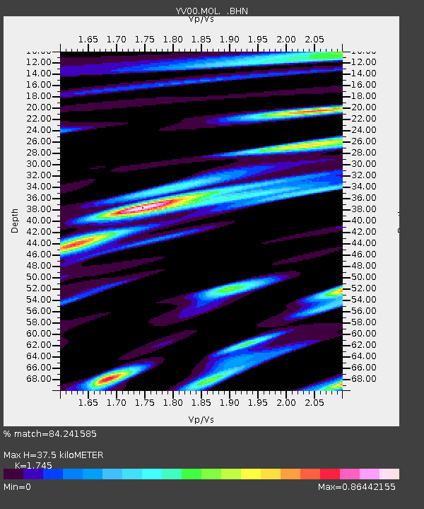
Estimated Moho Depth: 37.5 km
Estimated Crust Vp/Vs: 1.75
Assumed Crust Vp: 6.391 km/s
Estimated Crust Vs: 3.662 km/s
Estimated Crust Poisson's Ratio: 0.26
Radial Match: 84.241585 %
Radial Bump: 400
Transverse Match: 70.98359 %
Transverse Bump: 400
SOD ConfigId: 16820
Insert Time: 2010-03-09 20:40:54.552 +0000
GWidth: 2.5
Max Bumps: 400
Tol: 0.001

Signal To Noise

ChannelStoNSTALTA
YV:MOL: :BHN:20010324T06:38:53.527021Z3.1759541.8781278E-65.9135857E-7
YV:MOL: :BHE:20010324T06:38:53.527021Z2.985941.810515E-66.063467E-7
YV:MOL: :BHZ:20010324T06:38:53.527021Z7.35688974.8500347E-66.592507E-7
Arrivals
Ps4.5 SECOND
PpPs16 SECOND
PsPs/PpSs20 SECOND