L14 XF.L14 - Earthquake Result Viewer
Earthquake location: Windward Islands
Earthquake latitude/longitude: 11.1/-62.6
Earthquake time(UTC): 2000/10/04 (278) 14:37:44 GMT
Earthquake Depth: 110 km
Earthquake Magnitude: 5.6 MB, 5.4 MS, 6.1 MW, 5.9 MD
Earthquake Catalog/Contributor: WHDF/NEIC
Network: XF Laramie Telemetered Brad-band Array
Station: L14 XF.L14
Lat/Lon: 41.26 N/105.74 W
Elevation: 7310 m
Distance: 48.3 deg
Az: 316.275 deg
Baz: 115.867 deg
Ray Param: 0.069083795
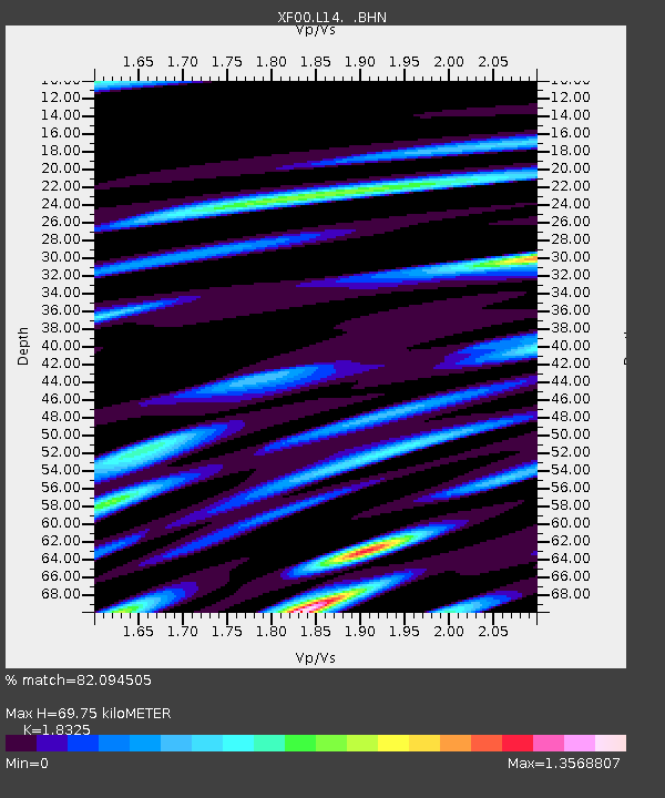
Estimated Moho Depth: 69.75 km
Estimated Crust Vp/Vs: 1.83
Assumed Crust Vp: 6.306 km/s
Estimated Crust Vs: 3.441 km/s
Estimated Crust Poisson's Ratio: 0.29
Radial Match: 82.094505 %
Radial Bump: 400
Transverse Match: 61.27854 %
Transverse Bump: 400
SOD ConfigId: 16820
Insert Time: 2010-03-09 20:54:47.354 +0000
GWidth: 2.5
Max Bumps: 400
Tol: 0.001

Signal To Noise

ChannelStoNSTALTA
XF:L14: :BHN:20001004T14:45:43.625006Z0.83588598.544503E-81.0222093E-7
XF:L14: :BHE:20001004T14:45:43.625006Z2.5210572.1601758E-78.568532E-8
XF:L14: :BHZ:20001004T14:45:43.625006Z4.8480133.453282E-77.123088E-8
Arrivals
Ps9.7 SECOND
PpPs30 SECOND
PsPs/PpSs39 SECOND